| Identifier | 2026-013-FA | ||||||||
|---|---|---|---|---|---|---|---|---|---|
| Purpose | To characterize the seabed in the Gulf of Maine | ||||||||
| Location | Gulf of Maine | ||||||||
| Info derived | seabed character, porosity, sedimentary texture, and imagery | ||||||||
| Projects | |||||||||
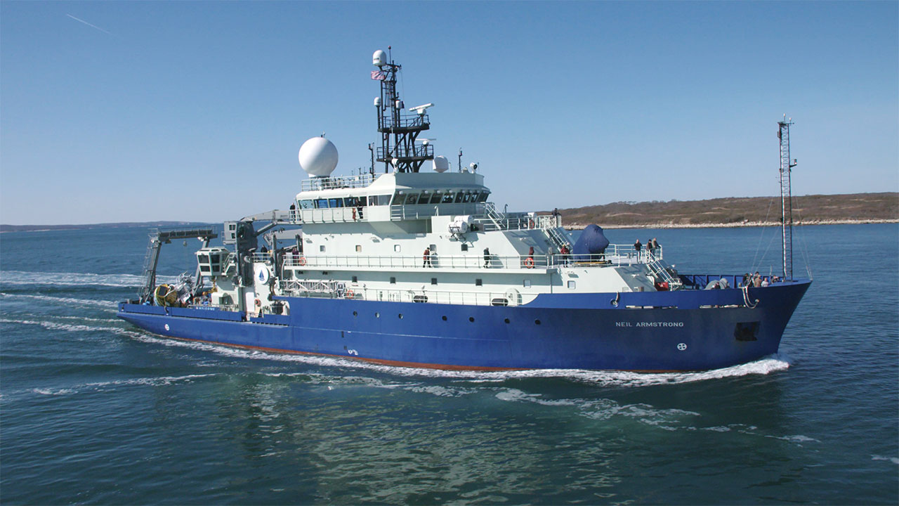
| Platform |
|
||||||||
| Itinerary |
|
||||||||
| Bounds |
|
| Organization |
384 Woods Hole Road
Quissett Campus
Woods Hole, MA02543-1598
(508) 548-8700
|
|---|---|
| Principal investigators | Laura Brothers |
| Crew members | |
| Affiliate principal | Jen Miksis-Olds, UNH; Anthony Lyons, UNH |
| Data category: | Sampling, Sonar, Seismics |
|---|---|
| Data type: | Geology, Multibeam, Sub Bottom Profiler |
| Equipment | Usage description | Data types | Datasets |
|---|---|---|---|
| Piston corer | Geology | (no data reported) | |
| SeaBOSS | Surveys (biological), Experiments (biological), Species ID, Photo, Video, Geology, Biology | (no data reported) | |
| Kongsberg SBP 29 | Sub Bottom Profiler | (no data reported) |