Coastal and Marine Hazards and Resources
Geoscience Data System
Field Activity 2026-602-FA
Identifier
2026-602-FA
Alternate names
SD Bay fault survey
Purpose
Subbottom Chirp survey of southern SD Bay to investigate the southern extension of the Rose Canyon Fault system (Silver Strand section) and its continuation toward southern SD and into metropolitan Tijuana
Location
Southern San Diego Bay, CA
Info derived
cross sectional imagery, seismic stratigraphy, structural geology
Comments
Jointly funded collaboration with Drake Singleton at the Earthquake Science Center. Travel expenses will go on Drake's WBS
Projects
Coastal and marine earthquake, tsunami, and landslide active margin field studies
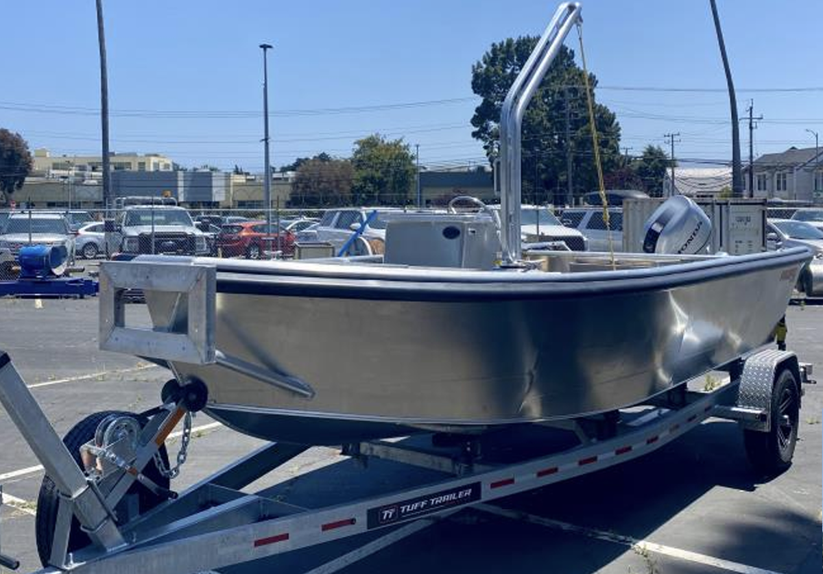
Platform
M.T. Williams
Length: 18 feet
Itinerary
Start
(port not specified)
2026-02-26
End
(port not specified)
2026-03-06
Days in the field
8
Bounds
West
-117.18031308
East
-117.05245972
North
32.68839378
South
32.56359707
Show or hide map
Hide layers
Personnel
Organization
USGS, Pacific Coastal and Marine Science Center
(PCMSC)
2885 Mission Street
Santa Cruz,
CA
95060
(831) 460-7401
Principal investigators
Daniel BrothersSingleton, DrakeBoe Derosier
Crew members
Data types and categories
Data category:
Seismics
Data type:
Sub Bottom Profiler
Equipment used
Equipment
Usage description
Data types
Datasets
0.5-16 kHz
Sub Bottom Profiler
(no data reported)
Publications
Samples collected during this field activity