Characterize the surface and groundwater hydrology in the coastal Everglades
Location
Everglades National Park and Ten Thousand Islands National Wildlife Refuge, FL
Summary
This task of the project collects continuous hydrological data from a network of 16 sites along several drainages in the coastal Everglades. Sites vary from freshwater wetlands (in headwater areas) to mangrove forests in downstream, tidal regions.
Info derived
Surface-water stage, temperature and conductivity; Ground-water level, temperature and conductivity; Depth and duration of wetland flooding
Comments
Collects continuous hydrological data from 16 sites along several drainages in the coastal Everglades. Equipment: YSI 600R temperature and conductivity sensor, Float & Pulley water level recorders, metri-tape water level recorders, tipping bucket rain gages.
Platform
25-ft Parker
19-ft SeaCraft
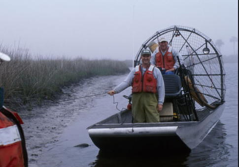
Airboat
Per OPS Manager, platform was transferred to the Gainesville office around 2016.