This represents a portion of Task 9 of BASIS+ project 2090B6J
Purpose
Characterize the surface elevation changes of wetlands in the coastal Everglades in relation to hydrology, disturbance and vegetation dynamics.
Location
Everglades National Park and Ten Thousand Islands National Wildlife Refuge, FL
Summary
This task of the project collects quarterly measure of wetland surface elevation change at nine sites along two drainages in the coastal Everglades: the Lostman's River and the Shark River. Sites vary from freshwater wetlands (in headwater areas) to mangrove forests in downstream, tidal regions.
Info derived
Patterns of wetland surface elevation change over time in relation to environmental variables.
Comments
Collects quarterly measure of wetland surface elevation change at nine sites along two drainages in the coastal Everglades. Additional equipment: Deep, mid-level and shallow surface elevation tables, feldspar marker horizons. Additional platform: Chevy Silverado (GSA lease)
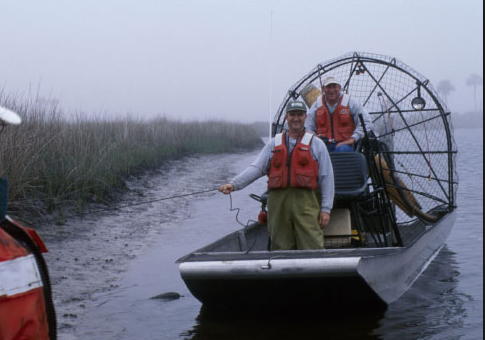
Platform
25-ft Parker
19-ft SeaCraft
Airboat
Per OPS Manager, platform was transferred to the Gainesville office around 2016.