Quantify subsidence and erosion in areas of historical wetland loss
Location
Louisiana Chenier Plain, Sabine NWR
Summary
Collected 23 vibracores and 87 push cores across 4 areas of historic wetland loss in Sabine NWR. Measured water depths at each core site and along transects between core sites.
Info derived
Sediment-surface elevations and stratigraphic analysis (especially, peat thickness and depth to the organic-clastic contact) will be used to estimate the magnitude and rate of subsidence and erosion between marsh and open-water core sites.
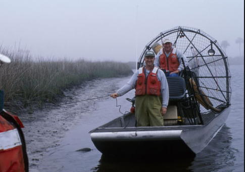
Platform
Airboat
Per OPS Manager, platform was transferred to the Gainesville office around 2016.