| Identifier |
10ERM01 |
| Purpose |
To obtain water levels at benchmarks throughout the greater Everglades for groundtruthing local water gages. |
| Location |
FL Everglades |
| Info derived |
Surface water levels, lat/long coordinates |
| Comments |
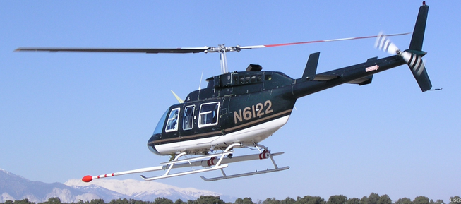
Platform Model: Bell 206B N231RL PI: P. Tellis is affiliated with the USGS Jacksonville office. |
| Platform |
| Helicopter (SP) |
 |
|
| Itinerary |
| Start |
Tamiami Airport, Miami, FL |
2010-10-18 |
| End |
Tamiami Airport, Miami, FL |
2010-10-20 |
|
| Bounds |
| West |
-81.2655 |
| East |
-80.50346538 |
| North |
25.4222428 |
| South |
25.02775033 |
|
| Topic |
30 |