Field Activity 10SWL01

Identifier 10SWL01
Purpose Quantify accommodation-space formation, subsidence, and erosion in areas of historic wetland loss
Location Sabine National Wildlife Refuge, LA
Info derived - GPS sediment-surface elevations will be used to estimate one-dimensional and three-dimensional accommodation space formed by historic wetland loss, - Stratigraphic analysis will be used to estimate the magnitude and rate of subsidence and erosion betwee
Comments 
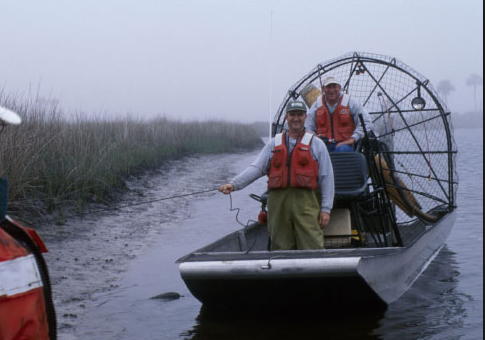
Shop Time: Dave Wegener built a mount to attach the GPS antenna to the airboat
Platform
Airboat
Per OPS Manager, platform was transferred to the Gainesville office around 2016.
Itinerary
Start Sulphur, LA 2010-08-02
End Sulphur, LA 2010-08-15
Bounds
West -93.6116
East -93.41354435
North 29.95938816
South 29.82960543
Topic 76
Marine operations Yes

Personnel

Organization
600 Fourth Street South
St. Petersburg, FL33701-4846
(727) 502-8000
Principal investigators Julie C Bernier
Crew members
Nancy T DeWitt
Scientist, Staff
Julie C Bernier
Scientist, Staff
Kyle W Kelso
Scientist, Staff
Hill, Gary
Scientist, Staff
Information specialist(s)
Julie C Bernier
Specialist, Information

Data types and categories

Data category: Location-Elevation, Sampling
Data type: Navigation, Geology

Equipment used

Equipment Usage description Data types Datasets
Choke Ring Antenna Benchmarks, Navigation (no data expected)
Ashtech Z-Xtreme DGPS Benchmarks, Navigation 1
Push Corer Geology 2

Datasets

Datasets produced in this activity

Dataset name Equipment Description Dataset contact
snwr_elev2010 Ashtech Z-Xtreme DGPS DGPS point elevation data Julie C Bernier
10SWL01-SA-rd-1 Push Corer Push cores Julie C Bernier
OFR_2011-1169_AppA_all_sects Push Corer core description sheets Julie C Bernier

Publications

Samples collected during this field activity