| Identifier | 1971-009-FA | ||||||||
|---|---|---|---|---|---|---|---|---|---|
| Alternate names | VERL 71-08 | ||||||||
| Location | Cape Cod Bay, Massachusetts, United States, North America, North Atlantic, | ||||||||
| Summary | Deployed: 1 Geodyne current meter, #391. | ||||||||
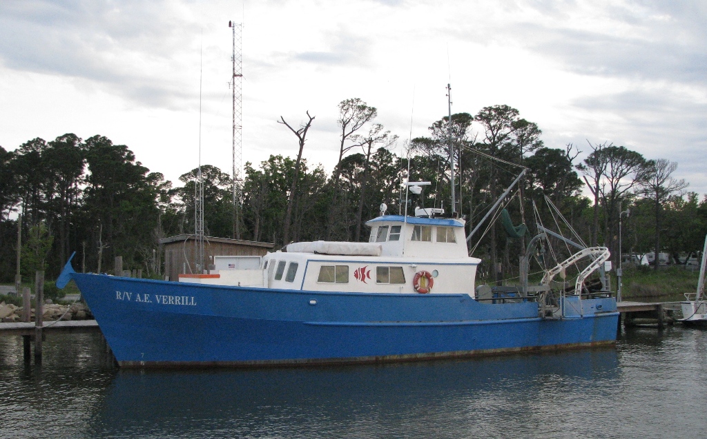
| Platform |
|
||||||||
| Itinerary |
|
||||||||
| Bounds |
|
| Organization |
384 Woods Hole Road
Quissett Campus
Woods Hole, MA02543-1598
(508) 548-8700
|
||||||
|---|---|---|---|---|---|---|---|
| Principal investigators | John Schlee | ||||||
| Crew members |
|
| Data category: | Environmental Data, Location-Elevation, Seismics |
|---|---|
| Data type: | Current, Navigation, Sub Bottom Profiler |
| Equipment | Usage description | Data types | Datasets |
|---|---|---|---|
| Geodyne current meter | Current | (no data reported) | |
| Visual navigation | Navigation | (no data reported) | |
| 3.5 kHz | Sub Bottom Profiler | 1 |
| Dataset name | Equipment | Description | Dataset contact |
|---|---|---|---|
| 1971-009-FA-SE-001 | 3.5 kHz | Collection of paper record displays of seismic data( 3.5K) for lines | Nancy K. Soderberg |