| Identifier | 1990-008-FA | ||||||||
|---|---|---|---|---|---|---|---|---|---|
| Alternate names | ERDA-90-1, LEG 1 LAKE PELTO | ||||||||
| Purpose | Shakedown, collect nearshore high-resolution seismics as part of ongoing coastal geologic framework studies in state cooperative projects. | ||||||||
| Location | Lake Pelto, Terrebonne Bay, Louisiana, Gulf of Mexico, United States, North America, North Atlantic; | ||||||||
| Summary | 6 rolls seismic data; 18 magnetic data tapes for entire cruise (all legs). | ||||||||
| Comments | Also see Field Activities 90009 and 90011. Project = MS-AL-USGS Co-op, MS-AL-USGS Co-op | ||||||||
| Related activities |
1990-009-FA: Cruise leg
1990-011-FA: Cruise leg
1990-300-FA: Multi-center
|
||||||||
| Platform |
|
||||||||
| Itinerary |
|
||||||||
| Bounds |
|
| Organization |
384 Woods Hole Road
Quissett Campus
Woods Hole, MA02543-1598
(508) 548-8700
|
||
|---|---|---|---|
| Principal investigators | David R Nichols | ||
| Crew members |
|
||
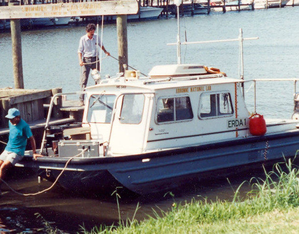
| Affiliate principal | Jack Kindinger, USGS; Shea Penland, LGS | ||
| Affiliate staff | Lyle McGinnis, Argonne National Labs, DOE |
| Data category: | Seismics, Location-Elevation |
|---|---|
| Data type: | Boomer, Navigation |
| Name | Description |
|---|---|
| Cruise report | Chief Scientist's cruise report including personnel, equipment, tabulated information, trackmap, and memorandum referring to related activities. (90008, 90009, 90011) |
| Equipment | Usage description | Data types | Datasets |
|---|---|---|---|
| GeoPulse uniboom | Boomer | (no data reported) | |
| Benthos AQ-4 10-element hydrophone streamer | Air Gun / Water Gun, Boomer, Sparker | 1 | |
| GPS (wh) | Navigation | (no data reported) | |
| Loran-C | Navigation | (no data reported) |
| Dataset name | Equipment | Description | Dataset contact |
|---|---|---|---|
| 1990-008-FA-SE-001 | Benthos AQ-4 10-element hydrophone streamer | analog tape of seismic data | Nancy K. Soderberg |