Field Activity 1991-029-FA

Identifier 1991-029-FA
Alternate names ERDA-91-3
Purpose Conduct high-resolution single-channel seismics survey of central Mississippi Sound.
Location Mississippi Sound, Gulf of Mexico, Mississippi, United States, North America, North Atlantic;
Summary Fairly good shallow water seismic data.
Comments Project = Mississippi/Alabama Pollution Project (MS/AL/USGS Co-op), Mississippi/Alabama Pollution Project (MS/AL/USGS Co-op)
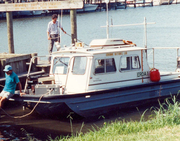
Platform
Erda-1
Length 24 feet.
Itinerary
Start Biloxi, MS 1991-09-12
End Biloxi, MS 1991-09-23
Days in the field 11
Bounds
West -89.17
East -86.33
North 30.5
South 30.16

Personnel

Organization
384 Woods Hole Road
Quissett Campus
Woods Hole, MA02543-1598
(508) 548-8700
Principal investigators Jack L Kindinger
Crew members
Affiliate staff Dana Wiese - USGS-St. Petersburg; Shea Penland - LGS; Steve Oivanki - MOG

Data types and categories

Data category: Seismics, Location-Elevation
Data type: Air Gun / Water Gun, Boomer, Sparker, Navigation

Documents: Notes and log books

Name Description
Cruise report Chief Scientist's cruise report including personnel, purpose, equipment, tabulated information, trackmap.

Equipment used

Equipment Usage description Data types Datasets
Benthos AQ-4 10-element hydrophone streamer Air Gun / Water Gun, Boomer, Sparker (no data reported)
Boomer Boomer (no data reported)
GPS (wh) Navigation (no data reported)
Loran-C Navigation (no data reported)

Publications

Samples collected during this field activity