Field Activity 1992-003-FA

Identifier 1992-003-FA
Alternate names ERDA-92-1
Purpose Conduct high-resolution single-channel seismics survey of Lake Calcasieu, Louisiana.
Location Lake Calcasieu, Louisiana, Gulf of Mexico, United States, North America, North Atlantic;
Comments Project = West Louisiana/Upper Texas Coastal Land Loss Study, West Louisiana/Upper Texas Coastal Land Loss Study
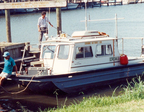
Platform
Erda-1
Length 24 feet.
Itinerary
Start Duval Barge Docks, Sulphur, LA 1992-04-20
End Duval Barge Docks, Sulphur, LA 1992-05-01
Days in the field 8
Bounds
West -93.5405
East -93.12836
North 30.10922
South 29.70714

Personnel

Organization
384 Woods Hole Road
Quissett Campus
Woods Hole, MA02543-1598
(508) 548-8700
Principal investigators Jack L Kindinger
Crew members
Affiliate staff Dana Wiese, USGS-St. Petersberg; Scott Nichol - Dalhousie University

Data types and categories

Data category: Seismics, Location-Elevation
Data type: Boomer, Air Gun / Water Gun, Sparker, Navigation

Documents: Notes and log books

Name Description
Cruise report Chief Scientist's cruise report including personnel, purpose, equipment, tabulated information, trackmap.

Equipment used

Equipment Usage description Data types Datasets
Huntec profiling system (500-2500 Hz) Boomer (no data reported)
Benthos AQ-4 10-element hydrophone streamer Air Gun / Water Gun, Boomer, Sparker (no data reported)
GPS (wh) Navigation (no data reported)
Loran-C Navigation (no data reported)

Publications

Samples collected during this field activity