Field Activity 1992-300-FA

Identifier 1992-300-FA
Alternate names 92ER2, 92ER4
Purpose To investigate the shallow geologic framework from Lake Pontchartrain, Louisiana, to Mobile Bay, Alabama.
Location Mississippi Sound
Summary Scanned images (.tif) of analog seismic profiles, navigation and GIS files.
Info derived Sub-bottom profiles
Comments 
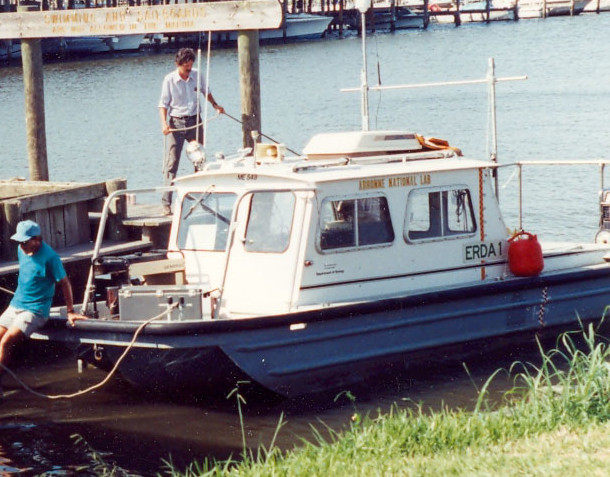
The new field activity IDs 92ER2 and 92ER4 were originally referred to as ERDA 92-2 and ERDA 92-4 at the USGS in St. Petersburg, FL, and 92010 and 92037 at the USGS in Woods Hole, MA.
Related activities
1992-010-FA: Multi-center
1992-037-FA: Multi-center
Platform
Erda-1
Length 24 feet.
Vehicles
Unknown
Itinerary
Start St.Petersburg, FL 1992-06-12
End St.Petersburg, FL 1992-08-20
Bounds
West -90.2142334
East -88.09521484
North 30.40411959
South 30.11797628
Marine operations Yes

Personnel

Organization
600 Fourth Street South
St. Petersburg, FL33701-4846
(727) 502-8000
Principal investigators Jack L KindingerJames G Flocks
Crew members
Dana S Wiese
Scientist, Staff
Sanford, Jordan
Scientist, Staff
Information specialist(s)
Arnell S Forde
Specialist, Information

Data types and categories

Data category: Seismics
Data type: Boomer

Equipment used

Equipment Usage description Data types Datasets
Other Unknown, Multichannel, Boomer, Sub Bottom Profiler, Sparker, Bubble Gun, Air Gun / Water Gun, Ocean Bottom Seismometer, Sonobuoy (no data reported)

Publications

Samples collected during this field activity