| Identifier | 2010-011-FA | ||||||||
|---|---|---|---|---|---|---|---|---|---|
| Purpose | Observe coastal change in the near shore area of Cape Hatteras. | ||||||||
| Location | Cape Hatteras, North Carolina, United States, North America, North Atlantic, | ||||||||
| Summary | Time series instrumentation was deployed at 14 sites in the nearshore area, a video camera was mounted on the lighthouse, a coastal radar was installed on the beach. Targets for aerial surveys were installed on the beach. | ||||||||
| Comments | Amount of continuous data is a guess, Hypack position and bathymetry was recorded for some transects during the course of the experiment. Project = Carolinas: Sediment Transport, Carolinas: Sediment Transport | ||||||||
| URL | |||||||||
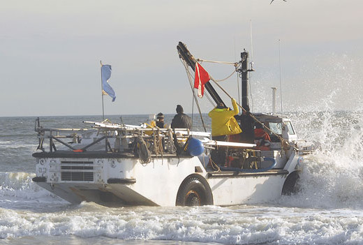
| Platform |
|
||||||||
| Itinerary |
|
||||||||
| Bounds |
|
| Organization |
384 Woods Hole Road
Quissett Campus
Woods Hole, MA02543-1598
(508) 548-8700
|
||||||||||||||||||||
|---|---|---|---|---|---|---|---|---|---|---|---|---|---|---|---|---|---|---|---|---|---|
| Principal investigators | John C Warner | ||||||||||||||||||||
| Crew members |
|
||||||||||||||||||||
| Information specialist(s) |
|
||||||||||||||||||||
| Affiliate principal | Kevin Haas, Georgia Institute of Technology; George Voulgaris, University of South Carolina; Jesse McNinch, Army Corps of Engineers; Jeff Book, Naval Research Laboratory | ||||||||||||||||||||
| Affiliate staff | Ray Townsend, Brian Scarborough, USCAE; B.J. Reynolds, Jordan Sanford, USGS-St. Petersburg; Nirnemesh Kumar, Jeff Morin, USC; Paul Gay, ? Sapp, Stephanie Smalligan, ? Yang, Georgia Tech; ? NRL |
| Data category: | Environmental Data, Imagery, Location-Elevation, Sampling, Sonar, Time Series |
|---|---|
| Data type: | CTD, Temperature, Photo, Video, Navigation, Geology, Single Beam, Mooring (physical oceanography) |
| Name | Description |
|---|---|
| Cruise log | Paper Mooring Log Sheets: data recorded by techs and observers during the deployment activities for moorings 864 through 880. |
| Equipment | Usage description | Data types | Datasets |
|---|---|---|---|
| Digital video camera | Video | (no data reported) | |
| Digital camera | Photo | (no data reported) | |
| Grab sampler | Biology, Geology | (no data reported) | |
| Current | Mooring (physical oceanography) | 3 | |
| Echosounder | Single Beam | (no data reported) | |
| Real Time Kinematic GPS | Navigation | (no data reported) | |
| SCUBA | Biology, Chemistry, Geology | (no data reported) | |
| Temperature and salinity | CTD, Temperature | (no data reported) | |
| Pressure | Mooring (physical oceanography) | (no data reported) |
| Dataset name | Equipment | Description | Dataset contact |
|---|---|---|---|
| 2010-011-FA-NL-001 | Current | Paper Mooring Log Sheets: data recorded by techs and observers during the deployment activities for moorings 864 through 880 | Christine Sabens |
| 2010-011-FA-NL-001-01 | Current | Raw and Engineering records for moorings 864-880, Cape Hatteras 2009 and 2010. | Linda P McCarthy |
| 2010-011-FA-OM-001-01 | Current | All Data from moorings 864-880: part of Cape Hatteras Nearshore experiment | Ellyn Montgomery |