Field Activity 2012-016-FA

Identifier 2012-016-FA
Alternate names RC89; Chesapeake Bay 0612
Purpose 
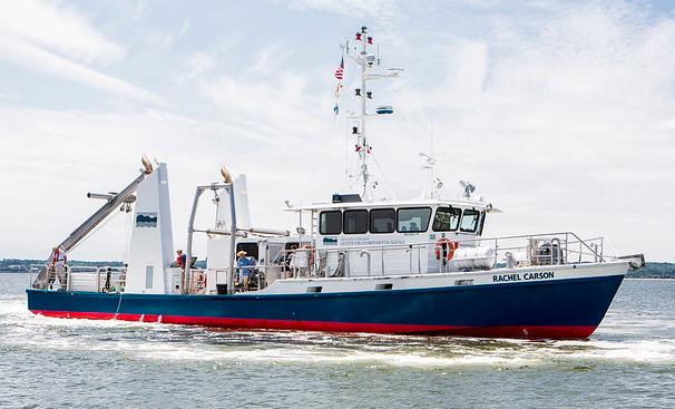
Measure greenhouse gas fluxes from the upper, lower and middle portions of the Chesapeake Bay. Work will be conducted aboard the R/V Rachel Carson in collaboration with scientists from the University of Maryland's Chesapeake Bay Laboratory.
Location Chesapeake Bay, United States, North America, North Atlantic;, Greenhouse Gas Flux Measurements
Summary From June 18-June 22, 25 km+ of surface methane and CO2 data collected in the lower, mid and upper chesapeake Bay. Vertical profiles of the methane and CO2 concentration and d13C also obtained at 5 sample stations using a submersible pump to supply the equilibrator
Info derived Samples and chemical analysis;
Comments Chuck Worley providing technical assistance locally. Michael Casso attending cruise with Pohlman Project = Global Dist. Geochem. Gas Hydrate,
Platform
Rachel Carson (Univ. Maryland)
Length: 81-feet; Beam: 18 ft (5.5 m).
Itinerary
Start Solomons MD, USA 2012-06-16
End Solomons MD, USA 2012-06-22
Days in the field 5
Bounds
West -77.7437
East -74.88281
North 39.72465
South 36.70366

Personnel

Organization
384 Woods Hole Road
Quissett Campus
Woods Hole, MA02543-1598
(508) 548-8700
Principal investigators John Pohlman
Crew members
Michael Casso
Scientist, Staff
Information specialist(s)
Michael Casso
Specialist, Information
Affiliate principal Laura Lapham, UMCES

Data types and categories

Data category: Location-Elevation, Environmental Data
Data type: Navigation, CTD, Temperature, Methane

Equipment used

Equipment Usage description Data types Datasets
GPS (wh) Navigation (no data reported)
HYPACK Navigation (no data reported)
Temperature and salinity CTD, Temperature (no data reported)
Cavity Ring-Down Spectroscopy (CRDS) CO2, Methane, Experiments (geochemical), Surveys (geochemical), Chemistry (no data reported)

Publications

Samples collected during this field activity