| Identifier | 2013-039-FA | ||||||||
|---|---|---|---|---|---|---|---|---|---|
| Purpose | Maps small cove on Connecticut River with autonomous kayak | ||||||||
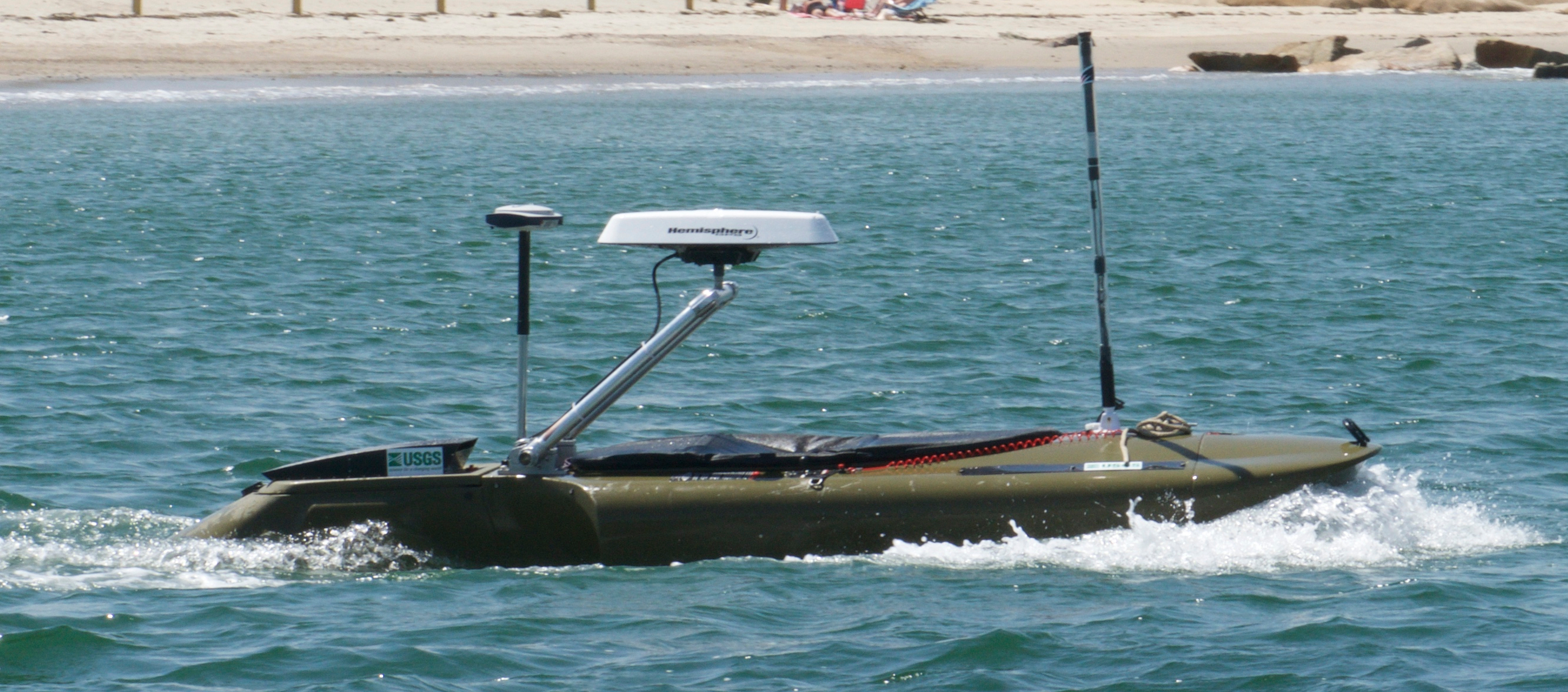
| Location | Autonomous kayak | ||||||||
| Info derived | Sea floor map;Bathymetric maps; | ||||||||
| Comments | Project = WHOI/Frontogenesis & Fine Sed. Trapping, | ||||||||
| Platform |
|
||||||||
| Itinerary |
|
||||||||
| Bounds |
|
| Organization |
384 Woods Hole Road
Quissett Campus
Woods Hole, MA02543-1598
(508) 548-8700
|
||||||||
|---|---|---|---|---|---|---|---|---|---|
| Principal investigators | Christopher R Sherwood | ||||||||
| Crew members |
|
||||||||
| Information specialist(s) |
|
| Data category: | Location-Elevation, Time Series, Sonar |
|---|---|
| Data type: | Navigation, Mooring (physical oceanography), Sidescan |
| Equipment | Usage description | Data types | Datasets |
|---|---|---|---|
| DGPS | Navigation | (no data reported) | |
| GPS (wh) | Navigation | (no data reported) | |
| Pressure | Mooring (physical oceanography) | (no data reported) | |
| Sidescan sonar | Sidescan | (no data reported) |