To collect high-resolution geophysical data needed to map and characterize deformation, if any, related to the San Gregorio Fault where the fault has been interpreted to intersect northern Monterey Canyon.
Location
Monterey Bay, California, United States, Pacific Ocean
Summary
USGS will NOT be the permanent repository of data. Successfully collected chirp subbottom profiles and multibeam bathymetry on one additional AUV dive.
Info derived
high-resolution multibeam bathymetry, chirp sub-bottom profiles, and sidescan sonar to map and characterize deformation in Monterey Canyon related to recent movement along the San Gregorio Fault
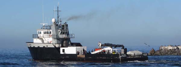
Comments
This data acquisition field activity is funded by and in collaboration with the Monterey Bay Aquarium Research Institute (MBARI). One research scientist, Katherine L. Maier (Coble), has been invited onto the acquisition cruise, will participate in data processing, and will lead data interpretations. No additional staff or overtime are needed. The mapping AUV, including multibeam bathymetry, chirp, and sidescan sonars, ship (R/V Rachel Carson), crew, and additional science and engineering personnel will be provided by MBARI.