Recover deployed instruments to avoid icing conditions that could damage or move instruments. Instruments will be redeployed when threat of icing conditions has past, likely mid-March. Instruments are collecting time series data to support evaluations of sediment transport and wetland stability, which will support development of models of storm impacts on estuarine health, vulnerability of adjacent communities, and sustainability of restored and natural wetlands.
Equipment or personnel only. Data, if any, are managed under a different field activity.
Location
Barnegat Bay, New Jersey, United States, Estuary
Summary
Currents, turbidity, water level, water temperature, suspended sediment concentration.
Info derived
Currents, turbidity, water level, water temperature, suspended sediment concentration.
Comments
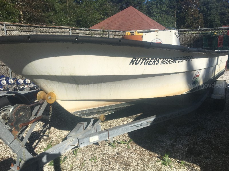
Platforms- Rutgers 20' Maritime Skiff;
Vehicle- USGS Suburban.
Entries for this field activity are based on entries from Field Activity 2014-047-FA (All time series data will be associated with this FA#).
Entries for this field activity are based on entries from Field Activity 2014-060-FA