| Identifier | 2015-015-FA | ||||||||
|---|---|---|---|---|---|---|---|---|---|
| Purpose | Relocate earthquakes; map the shape of the downgoing slab | ||||||||
| Location | Puerto Rico Trench, Northeast Caribbean, Atlantic Ocean | ||||||||
| Summary | 6 broadband OBS were deployed in May 2015 and will be recovered in late spring 2016. | ||||||||
| Info derived | Recording of local and teleseismic earthquakes | ||||||||
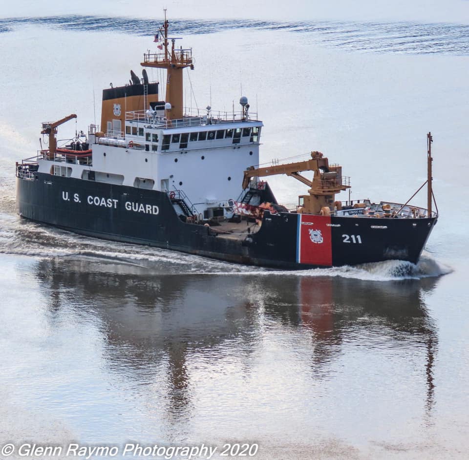
| Comments | Deployment of 6 broad-band OBS from the Coast Guard buoy tender, Oak. | ||||||||
| Projects | |||||||||
| Platform |
|
||||||||
| Itinerary |
|
||||||||
| Bounds |
|
| Organization |
384 Woods Hole Road
Quissett Campus
Woods Hole, MA02543-1598
(508) 548-8700
|
||
|---|---|---|---|
| Principal investigators | Uri Ten Brink | ||
| Crew members |
|
||
| Information specialist(s) |
|
||
| Affiliate principal | John Collins, WHOI |
| Data category: | Location-Elevation, Seismics |
|---|---|
| Data type: | Navigation, Ocean Bottom Seismometer |
| Equipment | Usage description | Data types | Datasets |
|---|---|---|---|
| Other | Unknown, Multichannel, Boomer, Sub Bottom Profiler, Sparker, Bubble Gun, Air Gun / Water Gun, Ocean Bottom Seismometer, Sonobuoy | (no data reported) | |
| DGPS | A DGPS system from the WHOI OBS group was used along with acoustic ranging to locate the 6 OBS on seafloor. | Navigation | (no data reported) |
| Ocean Bottom Seismometer | 6 WHOI ARRA OBS deployed, and each instrument was configured with a 3-component Trillium Compact intermediate-period seismometer and Cox-Deaton-Webb Differential Pressure Gauge. Data from these sensors is recorded using a Quanterra® Q330 datalogger and Quanterra® Packet Baler 44. Timing is provided by a Symmetricom® chip-scale atomic clock. All channels were recorded at a sample rate of 50 Hz. | Ocean Bottom Seismometer | 1 |
| Dataset name | Equipment | Description | Dataset contact |
|---|---|---|---|
| CFlores_DoubleDifference | Ocean Bottom Seismometer | High resolution double-difference relocations of earthquakes in and offshore Puerto Rico and Virgin Islands during the deployment of ocean bottom seismometers from mid-2015 to mid-2016. The dataset encompasses 6 separate CSV files. | Claudia Flores |