Field Activity 2015-021-FA

Identifier 2015-021-FA
Purpose Deploy instruments to collect time series data to support evaluations of sediment transport and wetland stability, which will support development of models of storm impacts on estuarine health, vulnerability of adjacent communities, and sustainability of restored and natural wetlands.
Location Barnegat Bay, New Jersey, United States, Estuary
Summary Instrument deployment
Info derived Currents, turbidity, water level, water temperature, suspended sediment concentration.
Comments 
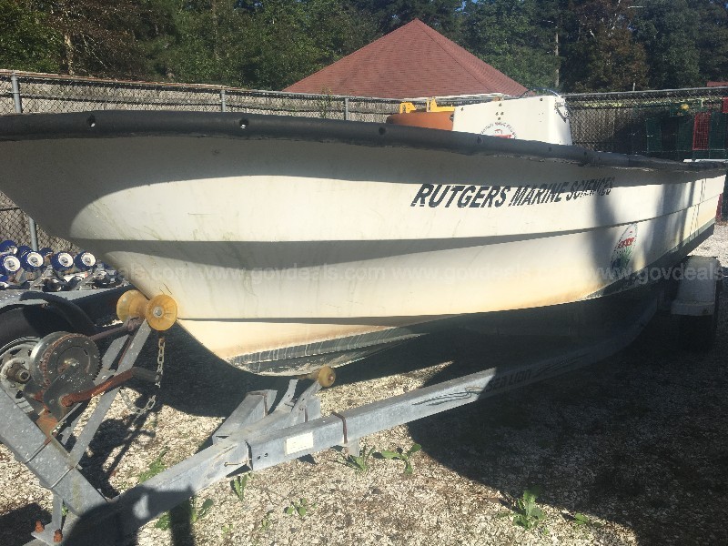
Platforms- Rutgers 20' Maritime Skiff; Vehicle- USGS Suburban. Deployment platforms used: current meter= FG lander (Fiberglass grate bottom lander) Turbidity/Temperature loggers = pole mount Entries for this field activity are based on entries from Field Activity 2014-047-FA time series data available at: http://dx.doi.org/10.5066/F7CN71Z6
Projects
Platform
Rutgers 20 foot Maritime Skiff
Itinerary
Start Tuckerton, NJ 2015-04-07
End Tuckerton, NJ 2015-07-10
Days in the field 2
Bounds
West -74.393
East -73.94
North 40.137
South 39.487

Personnel

Organization
384 Woods Hole Road
Quissett Campus
Woods Hole, MA02543-1598
(508) 548-8700
Principal investigators Neil Kamal Ganju
Crew members
Jonathan Borden
Scientist, Staff
Steven E Suttles
Scientist, Staff
Information specialist(s)
Steven E Suttles
Specialist, Information

Data types and categories

Data category: Location-Elevation, Time Series
Data type: Navigation, Mooring (physical oceanography)

Equipment used

Equipment Usage description Data types Datasets
GPS - Handheld Navigation (no data reported)
Bottom platform Mooring (physical oceanography) 1

Datasets

Datasets produced in this activity

Dataset name Equipment Description Dataset contact
second deployment at Barnegat Bottom platform data from second deployment at Barnegat Bay Ellyn Montgomery

Publications

Samples collected during this field activity