| Identifier |
2015-307-FA |
| Purpose |
Retrieve Seabird tide and wave gauges deployed around Breton Island and scout for benchmarks previously established in the area. |
| Location |
Breton Island, LA |
| Summary |
Retrieved Seabird water level guage. |
| Info derived |
Tide and wave data for the last 4 months and the status of previously established benchmarks around the Breton Sound area. |
| Projects |
|
| Platform |
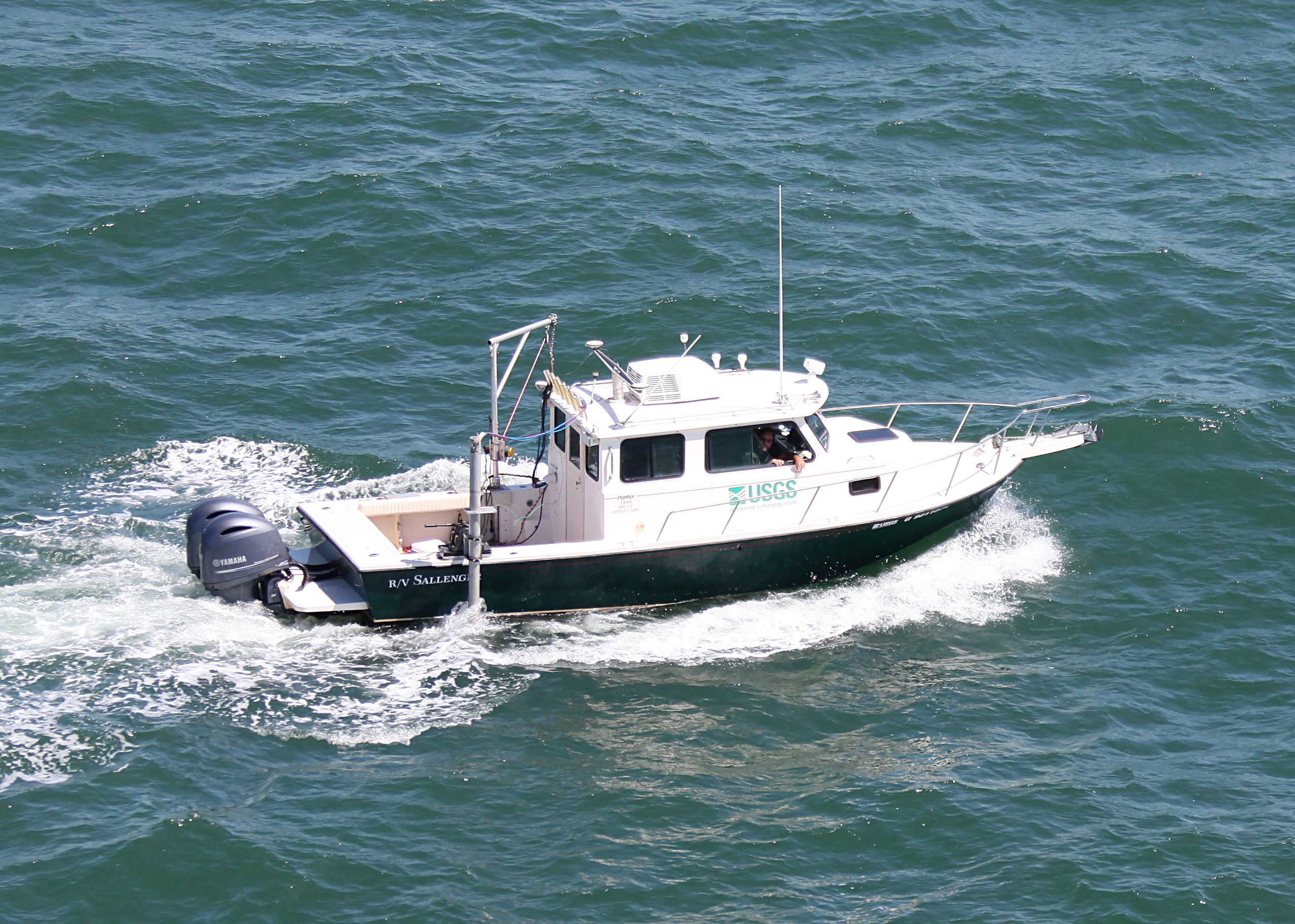
| Sallenger 26' Parker
|
 |
|
| Vehicles |
Ford F-350 Dually White (GSA) |
| Itinerary |
| Start |
Saint Petersburg, FL |
2015-02-09 |
| End |
Venice, LA |
2015-02-20 |
|
| Bounds |
| West |
-89.2763 |
| East |
-89.09375339 |
| North |
29.55718228 |
| South |
29.36958939 |
|
| Marine operations |
Yes |