Field Activity 2015-621-FA

Identifier 2015-621-FA
Also known as CCE AUV repeat mapping 2
Purpose 
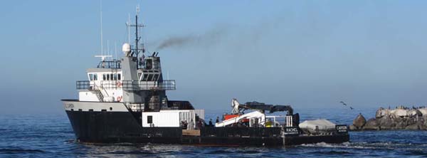
To use the MBARI AUV in a series of repeat mapping surveys to collect high-resolution multibeam bathymetry of the Monterey Canyon axial channel as part of the Coordinated Canyon Experiment
Location Monterey Canyon, Monterey Bay, California, United States, Pacific Ocean
Summary Two AUV surveys in the Monterey Canyon axial channel as part of the Coordinated Canyon Experiment. Repeat mapping of surveys from November 2015 (2015-620-FA).
Info derived AUV multibeam bathymetry, chirp sub-bottom profiles, sidescan sonar
Comments Data will be archived at MBARI.
Projects
Platform
Rachel Carson (MBARI)
Length: 41.1 meter (135 ft.), Beam: 10.4m (34 ft.). Acquired in 2011. Previously OSV Odyssea Team
Vehicles
None
Itinerary
Start Moss Landing, CA 2015-12-01
End Moss Landing, CA 2015-12-03
Days in the field 3
Bounds
West -122.135
East -121.79852295
North 36.8828428
South 36.62814835

Personnel

Organization
2885 Mission Street
Santa Cruz, CA95060
(831) 460-7401
Organization
Other(Other)
Principal investigators Katherine L Coble
Crew members
Information specialist(s)
Katherine L Coble
Specialist, Information
Affiliate principal PI: David W. Caress (MBARI)

Data types and categories

Data category: Location-Elevation, Other
Data type: Navigation

Equipment used

Equipment Usage description Data types Datasets
navigation Navigation (no data reported)

Publications

Samples collected during this field activity