| Identifier | 2018-047-FA | ||||||||
|---|---|---|---|---|---|---|---|---|---|
| Purpose | Provide support (cruise participation only) for MBES collection and OBS deployment. Equipment or personnel only. Data, if any, are managed under a different field activity.
|
||||||||
| Location | Aleutian Islands, Gulf of Alaska | ||||||||
| Summary | Deployed 30 ocean bottom seismometers | ||||||||
| Info derived | N/A | ||||||||
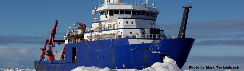
| Comments | Platform: R/V Sikuliaq, operated by the University of Alaska | ||||||||
| Projects | |||||||||
| Platform |
|
||||||||
| Itinerary |
|
||||||||
| Bounds |
|
| Organization |
Equipment or personnel support provided by
4210 University Dr.
Anchorage, AK99508
(907) 786-7000
|
||||
|---|---|---|---|---|---|
| Organization |
Equipment or personnel support provided by
384 Woods Hole Road
Quissett Campus
Woods Hole, MA02543-1598
(508) 548-8700
|
||||
| Organization |
Equipment or personnel support provided by
Woods Hole Oceanographic Institution(WHOI)
Woods Hole, MA02543
|
||||
| Principal investigators | |||||
| Crew members |
|
||||
| Information specialist(s) |
|
| Data category: | Seismics, Sonar |
|---|---|
| Data type: | Ocean Bottom Seismometer, Multibeam |
| Equipment | Usage description | Data types | Datasets |
|---|---|---|---|
| Other | Unknown, Multichannel, Boomer, Sub Bottom Profiler, Sparker, Bubble Gun, Air Gun / Water Gun, Ocean Bottom Seismometer, Sonobuoy | (no data reported) | |
| Ocean Bottom Seismometer | Ocean Bottom Seismometer | (no data reported) | |
| EM 302 | Multibeam | (no data reported) |