| Identifier |
2018-601-FA |
| Purpose |
Collect 3D seismic data along the Hikurangi trench for subduction zone science. Equipment or personnel only. Data, if any, are managed under a different field activity.
|
| Location |
Hikurangi Trench, offshore New Zealnd |
| Summary |
USGS will NOT be the primary repository for data. |
| Info derived |
3D image of the subduction margin and megathrust fault zone. |
| Comments |
USGS scientist Jared Kluesner participating on NSF/Academia-led 3D seismic on the R/V Langseth, offshore New Zealand |
| Projects |
|
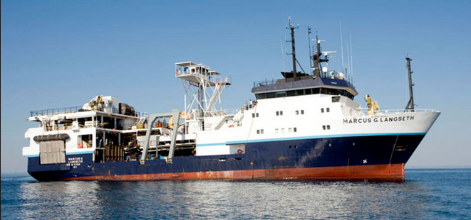
| Platform |
| Marcus G. Langseth 235 feet long, 56-foot beam, 19.5 foot draft. Built in 1991.
|
 |
|
| Vehicles |
|
| Itinerary |
| Start |
Tauranga, Zew Zealand |
2018-01-06 |
| End |
Napier, New Zealand |
2018-02-09 |
| Days in the field |
34 |
|
| Bounds |
| West |
178.21472368 |
| East |
179.74185817 |
| North |
-38.50357938 |
| South |
-39.42362625 |
|