Field Activity 2019-033-FA

Identifier 2019-033-FA
Purpose main objective of this cruise is to recover the 30 OBSs that were deployed in July 2018.
Location Gulf of Alaska
Summary Recovered 30 OBS instruments and collected 2000 line-km of EM122 12 kHz multibeam data
Info derived Seafloor bathymetry
Projects
Platform
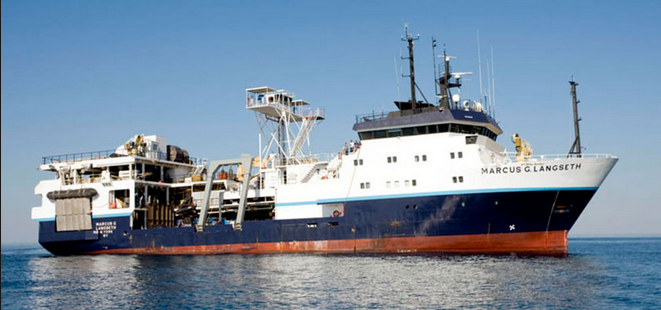
Marcus G. Langseth
235 feet long, 56-foot beam, 19.5 foot draft. Built in 1991.
Itinerary
Start Kodiak, AK 2019-08-25
End Kodiak, AK 2019-09-12
Days in the field 17
Bounds
West -165.36621094
East -148.75488281
North 58.00809779
South 52.53627304

Personnel

Organization
384 Woods Hole Road
Quissett Campus
Woods Hole, MA02543-1598
(508) 548-8700
Principal investigators Nathaniel C Miller
Crew members
William W Danforth
Scientist, Staff
Information specialist(s)
William W Danforth
Specialist, Information

Data types and categories

Data category: Location-Elevation, Sonar
Data type: Navigation, Multibeam

Equipment used

Equipment Usage description Data types Datasets
EM122 12 kHz multibeam We collected 2000 line-km of 12 kHz multibeam echo sounder data using the ship's hull mounted Simrad EM122. Multibeam (no data reported)
POS-MV Collect XX megabytes of POS-MV data Navigation (no data reported)

Publications

Samples collected during this field activity