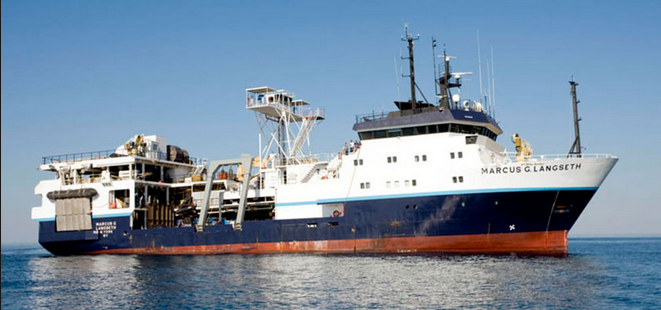
Multichannel seismic aquistion and seismic source for on-bottom recording to image structures and velocities of the Cascadia submarine forearc.
Location
Cascadia
Summary
The cruise happened, but we did not have any USGS staff (Bill wasn't able to make it) or assets on the cruise. So, there is 0 data that we collected/processed/control/etc from that cruise. We also provided $0 of direct funding to that effort. All data and docs from that cruise will be archived in the MGDS and R2R under Langseth cruise MGL2104.
Info derived
Seismic reflection images, seismic velocities, bathymetry and backscatter
Comments
Funding project is GR20LQ00ENR10
Entries for this field activity are based on entries from Field Activity 2020-018-FA (which was canceled due to COVID). The overtime account and other information will probably need to be updated.
Composite 30-m resolution bathymetric surface of northern Cascadia Margin offshore Washington. The surface was generated from various publicly available bathymetric datasets available in the region. The surface is available as a geoTIFF file.