Field Activity 2011-034-FA

Identifier 2011-034-FA
Purpose Collect seismic reflection and refraction data in the Bering Sea in order to apply the sediment thickness formula of Article 76 of the Convention on the Law of the Sea and determine the outer limits of the U.S. extended continental shelf.
Equipment or personnel only. Data, if any, are managed under a different field activity.
Location Alaska, Bering Sea, Aleutian Basin
Summary MCS Seismic, Gravity, sonobuoy refraction, magnetometer, XBT, CTD, water samples, multi-beam bathymetry, Marine Mammal observations.
Comments Chief Scientist Dr. Ginger Barth from Pacific Coastal and Marine Science Center (USGS) Project = Law of the Sea,
Related activities
L1111BS: Multi-center
Platform
Marcus G. Langseth
235 feet long, 56-foot beam, 19.5 foot draft. Built in 1991.
Itinerary
Start Dutch Harbor, AK 2011-08-07
End Dutch Harbor, AK 2011-09-01
Days in the field 26
Bounds
West -179.149
East -167.06878788
North 61.42475844
South 55.03923849

Personnel

Organization Equipment or personnel support provided by
384 Woods Hole Road
Quissett Campus
Woods Hole, MA02543-1598
(508) 548-8700
Principal investigators Thomas F O'Brien
Crew members
Thomas F O'Brien
Scientist, Staff
Wayne E Baldwin
Scientist, Staff
Information specialist(s)
Wayne E Baldwin
Specialist, Information
Affiliate principal Dr. Ginger Barth - USGS; Dr. Warren Wood - NRL; Patrick Hart - USGS

Data types and categories

Data category: Location-Elevation
Data type: Navigation

Equipment used

Equipment Usage description Data types Datasets
GPS (wh) Navigation (no data reported)

Datasets


Datasets not currently associated with specific equipment

Dataset name Description Dataset contact
MGL1109backsutm.asc: Multibeam backscatter data collected by the U.S. Geological Survey in the Gulf of Alaska in 2011 during cruise MGL1109, 100-meter gridded data in Esri gridascii format, UTM 6 coordinates 
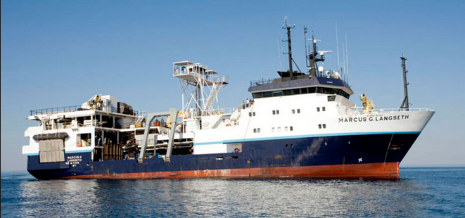
This raster dataset represents approximately 69,060 square kilometers of Simrad EM122 multibeam-backscatter data collected in the Gulf of Alaska during U.S. Geological Survey (USGS) cruise MGL1109 aboard the R/V Marcus G. Langseth. The data have been reduced for position, elevation, orientation, water-column sound-speed, and refraction effects. Ginger Barth

Publications

Samples collected during this field activity