| Identifier |
2021-318-FA |
| Purpose |
To assess barrier island and shoreface resilience after Hurricane Sandy. |
| Location |
Seven-Mile Island, New Jersey, Cape May |
| Summary |
Collected multibeam bathymetry and 33 ponar sediment grab samples. |
| Info derived |
Multibeam bathymetry and backscatter, grain size of sediment grab samples |
| Comments |
Entries for this field activity are based on entries from Field Activity 2020-311-FA |
| Projects |
|
| Related activities |
|
| Platform |
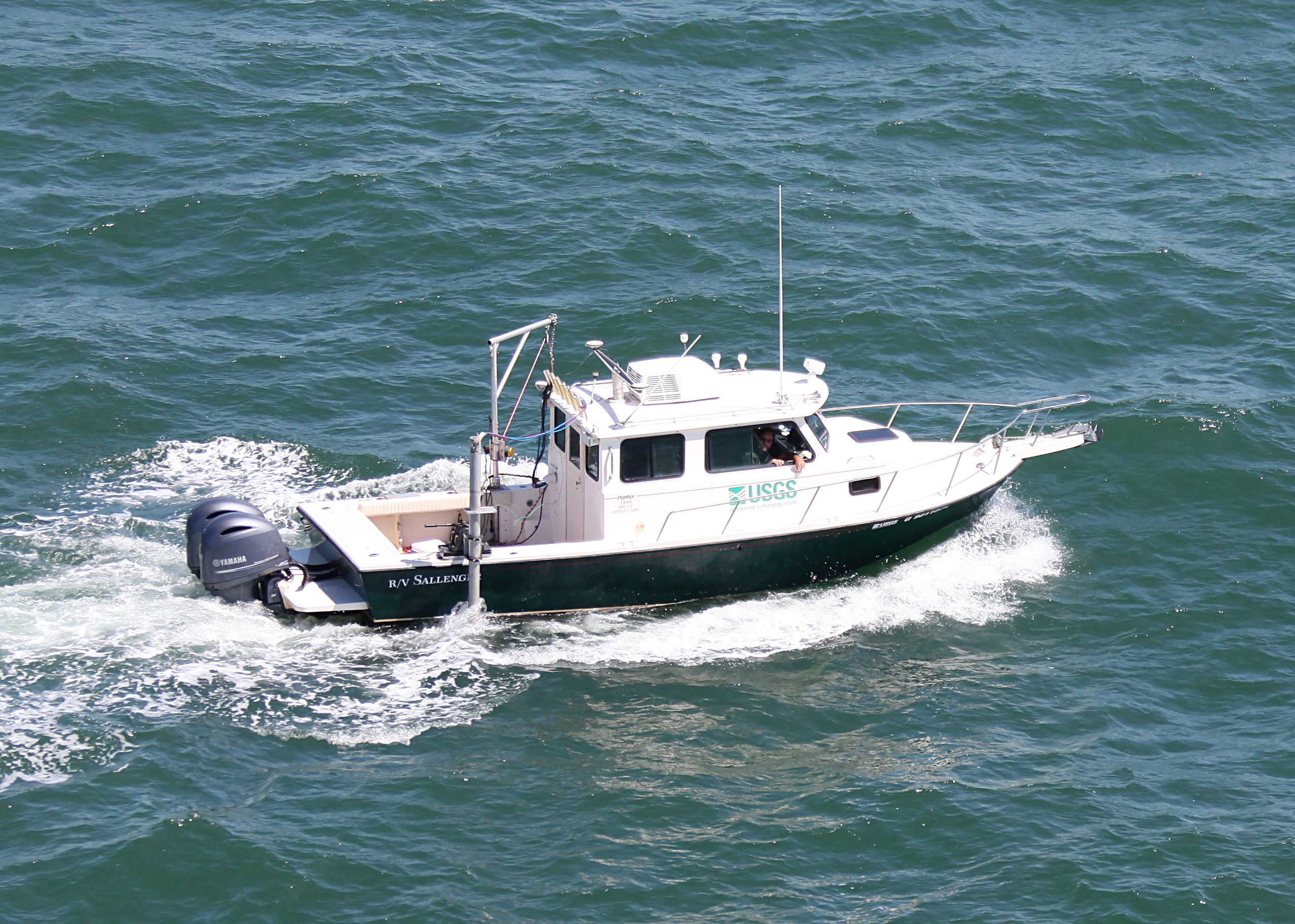
| Sallenger 26' Parker
|
 |
|
| Vehicles |
Ford F-350 Dually Grey (GSA) |
| Itinerary |
| Start |
Cape May, NJ |
2021-05-17 |
| End |
Cape May, NJ |
2021-05-30 |
| Days in the field |
10 |
|
| Bounds |
| West |
-74.85038996 |
| East |
-74.59277987 |
| North |
39.12414268 |
| South |
38.99902114 |
Leaflet | Tiles © Esri — Source: Esri, Garmin, GEBCO, NOAA NGDC, i-cubed, USDA, USGS, AEX, GeoEye, Getmapping, Aerogrid, IGN, IGP, UPR-EGP, and the GIS User Community, Tiles courtesy of the U.S. Geological Survey |
| Marine operations |
Yes |