Seafloor characterization of top of Atlantis II seamount.
Location
Atlantis II Seamount
Summary
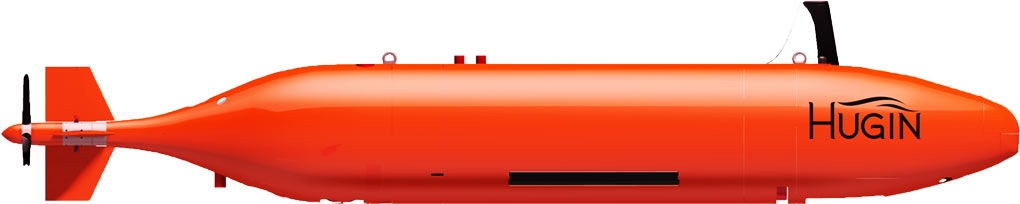
Collected approximately 975 kms of multibeam sonar data using an EM2040 mounted on the HUGIN AUV during 8 dives between July 19th and 27th. Area covered by multibeam data is approximately 81 sq kms. Data collection also included 975kms of sidescan sonar collected using an EdgeTech 2205, sub bottom profiles collected using a EdgeTech 2200M, and 550,000 HD bottom photographs collected using a Cathx HD Camera.
Info derived
Multibeam depth and backscatter, subbottom profiles, and seafloor photographs from Hugin 6000 AUV.
Comments
Data collected during this field activity was supposed to be collected during Field Activity 2022-006-FA. However, due to equipment failures, no AUV data was collected during 2022-006-FA and rescheduled to later in the summer using M/V Deep Helder.