Field Activity A109PS

Identifier A109PS
Alternate names A-1-09-PS
Purpose Explore relations between turbidity, leaf photosynthetic activity and plant growth
Description United States Geological Survey, Pacific Science Center. Chief Scientist: Renee Takesue. Deployment and Sampling data of field activity A-1-09-PS in San Juan Islands, Washington from 01/13/2009 to 02/03/2009
Location Washington
Summary Turbidity at the top of the canopy and plant growth will be measured over 3 weeks in winter in Picnic Cove, Shaw Island and Shoal Bay, Lopez Island. Related activities: A-1A-09-PS (April 6-7, 2009) A-1B-09-PS (April 27-28, 2009)
Info derived Time series of turbidity at the top of the eelgrass canopy; plant morphometrics
Comments 
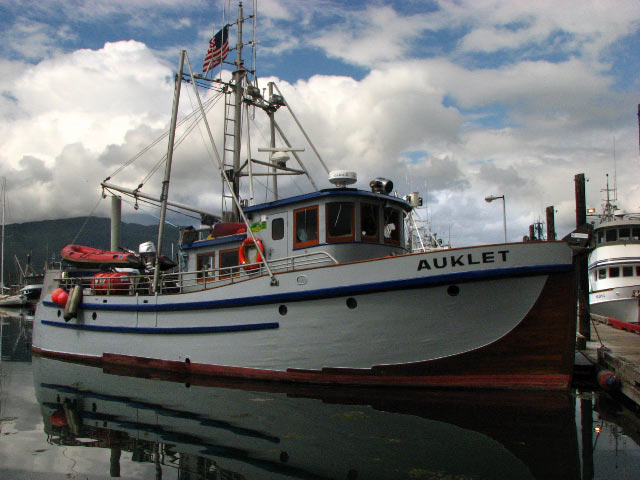
Tim Elfers: fabrication of tripods (2 weeks), in-field deployment (3 days) Univ. Washington Friday Harbor Laboratories boat Auklet Deploy turbidity sensors, collect eelgrass plants, measure leaf fluorescence. Staff information imported from InfoBank Renee Takesue (Boat Tender, USGS/WCMG) - Chief Scientist Tim Elfers (USGS/WCMG) - Assist tripod deployment Sandy Wyllie (Measure water column parameters, UW/FHL) - Echeverria Pema Kitaeff (UW/FHL) - Collect plants Carrie Craig - Collect plants UW/FHL
Projects
Platform
Auklet
58-foot boat in Alaska
Itinerary
Start Friday Harbor, WA 2009-01-13
End Friday Harbor, WA 2009-02-03
Bounds
West -122.924
East -122.87601
North 48.76015
South 48.55341
Activity Deployment and Sampling

Personnel

Organization
2885 Mission Street
Santa Cruz, CA95060
(831) 460-7401
Principal investigators Renee K Takesue
Crew members
Timothy C Elfers
Scientist, Staff
Craig, Carrie
Scientist, Staff
Information specialist(s)
Renee K Takesue
Specialist, Information
Affiliate staff Sandy Wyllie (Measure water column parameters, UW/FHL) - Echeverria,Pema Kitaeff (UW/FHL) - Collect plants

Data types and categories

Data category: Location-Elevation, Time Series
Data type: Navigation, Mooring (physical oceanography)

Equipment used

Equipment Usage description Data types Datasets
navigation Navigation 2
tripod Mooring (physical oceanography) (no data reported)

Datasets

Datasets produced in this activity

Dataset name Equipment Description Dataset contact
Best file with nav in ArcInfo E00 format a-1-09-ps.zip navigation Renee K Takesue
Global positioning system (GPS) data a-1-09-ps.060 navigation Provisional best file Renee K Takesue

Publications

Samples collected during this field activity