Sidescan sonar and bottom camera sled in nearshore waters. Nearshore benthic habitat mapping in MPAs.
Description
United States Geological Survey, Menlo Park, California,National Oceanic and Atmospheric Administration. Chief Scientist: Guy Cochrane. Biological and Geophysical data (sidescansonar, underwatertelevision) of field activity M-1-03-SC in Channel Islands, Southern California from 07/08/2003 to 07/18/2003
Location
Southern California
Summary
None
Info derived
Substrate type, microhabitat including benthic organisms and bottom fish.
Comments
Associated cruises in southern California: B-1-98-SC B-1-99-SC B-2-99-SC M-1-99-SC M-1-00-SC J-1-02-SC M-1-02-SC M-1-03-SC S-5-04-SC Ship time from and other support from NOAA/Channel Islands National Marine Sanctuary.
Staff information imported from InfoBank
Guy Cochrane (USGS) - Chief Scientist
Tara Anderson (USGS/NOAA) - Marine Biologist
Dale Roberts (National Park Service/NOAA) - Marine Biologist
Kristen Lee (USGS) - GIS Specialist
Hank Chezar (USGS) - Video Specialist
Fred Payne (USGS) - Electronics technician
Dave Gonzales (USGS) - Electronics technician
Sarah Fangman (NOAA/CINMS) - Research Coordinator
Brenda Polhman - Teacher intern
Amy Brown - Teacher intern
Non USGS data manager = Kristen Lee
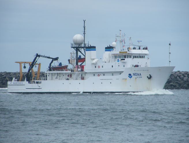
224 feet long, 43 foot beam, 15 foot draft. Launched in 1985. USNS Indomitable (T-AGOS-7) - acquired from the U.S. Navy in 2002 and renamed. Decommissioned in 2014.
Itinerary
Start
Port Hueneme, CA
2003-07-08
End
Santa Barbara, CA
2003-07-18
Bounds
West
-120.549
East
-119.20618
North
34.40367
South
33.72434
Activity
Biological and Geophysical
Personnel
Organization
National Oceanic and Atmospheric Administration(NOAA)