| Identifier | S169BS | ||||||||
|---|---|---|---|---|---|---|---|---|---|
| Alternate names | S-1-69-BS | ||||||||
| Description | Chief Scientists: Dave Scholl, Mike Marlow. Geophysical data (magnetics) of field activity S-1-69-BS in Kodiak, Bering Sea, Alaska from 06/20/1969 to 09/22/1969 | ||||||||
| Location | Alaska | ||||||||
| Comments | Staff information imported from InfoBank Dave Scholl (USGS Western Region) - Chief Scientist Mike Marlow (USGS Western Region) - Chief Scientist | ||||||||
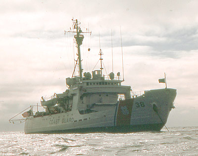
| Platform |
|
||||||||
| Itinerary |
|
||||||||
| Bounds |
|
||||||||
| Activity | Geophysical |
| Principal investigators | David W SchollMarlow, Mike |
|---|---|
| Crew members |
| Data category: | Electro-Magnetic, Location-Elevation, Seismics |
|---|---|
| Data type: | Magnetics, Navigation, Sub Bottom Profiler |
| Equipment | Usage description | Data types | Datasets |
|---|---|---|---|
| magnetics | Magnetics | 5 | |
| navigation | Navigation | 4 | |
| seismic | Sub Bottom Profiler | 3 |
| Dataset name | Equipment | Description | Dataset contact |
|---|---|---|---|
| Edited magnetics data s-1-69-bs.221_051 | magnetics | Provisional best file | David W Scholl |
| NGDC MGD77 data - Magnetics | magnetics | Carolyn Hayashida Degnan | |
| Raw magnetics data s-1-69-bs.200 | magnetics | David W Scholl | |
| Raw magnetics data s-1-69-bs.201 | magnetics | David W Scholl | |
| Raw magnetics data s-1-69-bs.201_051 | magnetics | David W Scholl | |
| Best file with nav in ArcInfo E00 format | navigation | David W Scholl | |
| Integrated navigation (SINS) data s-1-69-bs.050 | navigation | David W Scholl | |
| Integrated navigation (SINS) data s-1-69-bs.051 | navigation | Provisional best file | David W Scholl |
| Integrated navigation (SINS) data s-1-69-bs.051_degree | navigation | David W Scholl | |
| Image s-1-69-bs.thumb.jpg | seismic | David W Scholl | |
| Scan s-1-69-bs.full.tif | seismic | David W Scholl | |
| Scan s-1-69-bs.small.tif | seismic | David W Scholl |