Mapping the bathymetry on the continental slope of the Gulf of Alaska using seabeam bathymetry.
Description
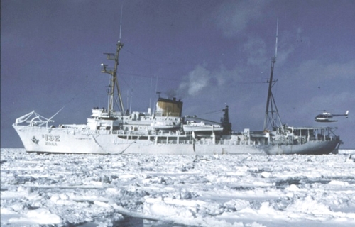
United States Geological Survey, Menlo Park, California. Chief Scientist: Paul Carlson. Geophysical data (bathymetry) of field activity S-1-88-EG in Eastern Gulf of Alaska from 07/25/1988 to 08/12/1988
Location
Eastern Gulf of Alaska
Comments
The NOAA Seabeam data were collected during July and August, 1988, on the NOAA ship SURVEYOR S-1-88 EGAL under direction of Capt. Wm. Stubblefield. I was the only USGS person onboard for a part of the data collection from the Gulf of Alaska along the continental slope-- long. 143-150. The sheets include processed seabeam bathymetry done by NOAA, and overlay sheets that I made on board the ship. These overlays are interpretations of the seafloor morphology. Paul Carlson.
Staff information imported from InfoBank
Paul Carlson (USGS Western Region) - Chief Scientist
William Stubblefield - Ship Captain