Reoccupy transects from April 2005 to resurvey sediment and processes on the Molokai reef flat, including multi-spectral imaging overflight; survey of upland landscape conditions; collection of nearshore samples along south shore to recon forams (samples for Mary McGann)
Description
United States Geological Survey, Pacific Science Center,United States Geological Survey, National Mapping Division, Flagstaff,University of Washington. Chief Scientists: Mike Field, Pat Chavez. Geological data of field activity S-2-07-MK in Molokai, Hawaii from 05/13/2007 to 05/22/2007
Location
Hawaii
Summary
Ridge-to-Reef data collections: Survey of suspended sediment concentrations on the reef flat at multiple times throughout the day during a spring high tide/high trade wind cycle, including simultaneous collection of multi-spectral imagery; survey of foraminifera on the south shore to determine changes along-coast; survey of upland landscape to determine sediment source information.
Info derived
processes and volume of suspended sediment in water column; survey of foraminifera on the south shore to determine changes along-coast; survey of upland landscape to determine sediment source information
Comments
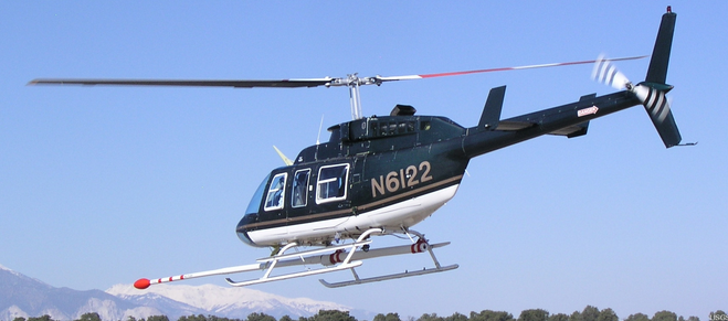
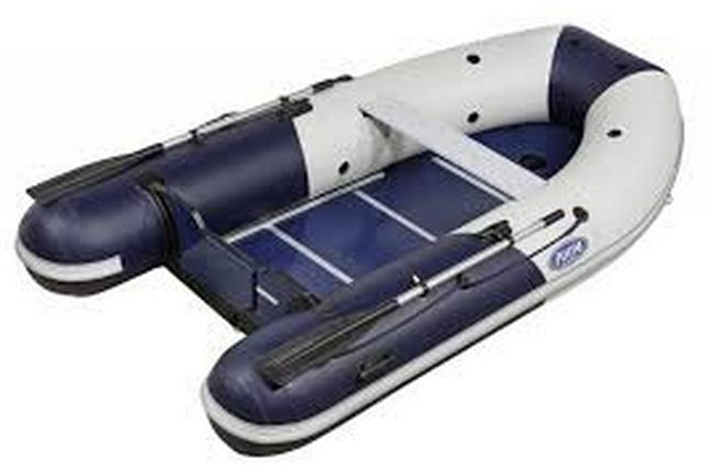
Platforms used; helicopter, small zodiac inflatable boat, and possibly the Alyce C (boat) if needed for collecting samples in deeper waters on the forereef.
Staff information imported from InfoBank
Mike Field (USGS Santa Cruz) - Chief Scientist
Pat Chavez (USGS Flagstaff) - Chief Scientist
Susie Cochran (data collection, sample processing, logistics, USGS Santa Cruz) - Information specialist
Josh Logan (navigation, instrumentation, vessel operation, USGS Santa Cruz) - Information specialist
Andrea Ogston (backpack profiler operation, University of Washington) - Tripod instrumentation
Mike Torresan (sample processing, USGS Menlo Park) - Data collection
Olivia Buchan (sample processing, USGS Menlo Park) - Data collection
Tom Reiss (navigation, instrumentation, vessel operation, USGS Menlo Park) - Data collection
Kurt Rosenburg (instrumentation, USGS Santa Cruz) - Data collection
Rian Bogle (USGS Flagstaff) - Camera operations
Jon Stock (USGS Menlo Park) - landscape surveys
Kevin Schmidt (USGS Menlo Park) - landscape surveys