| Status | Inactive |
|---|---|
| Photo |  |
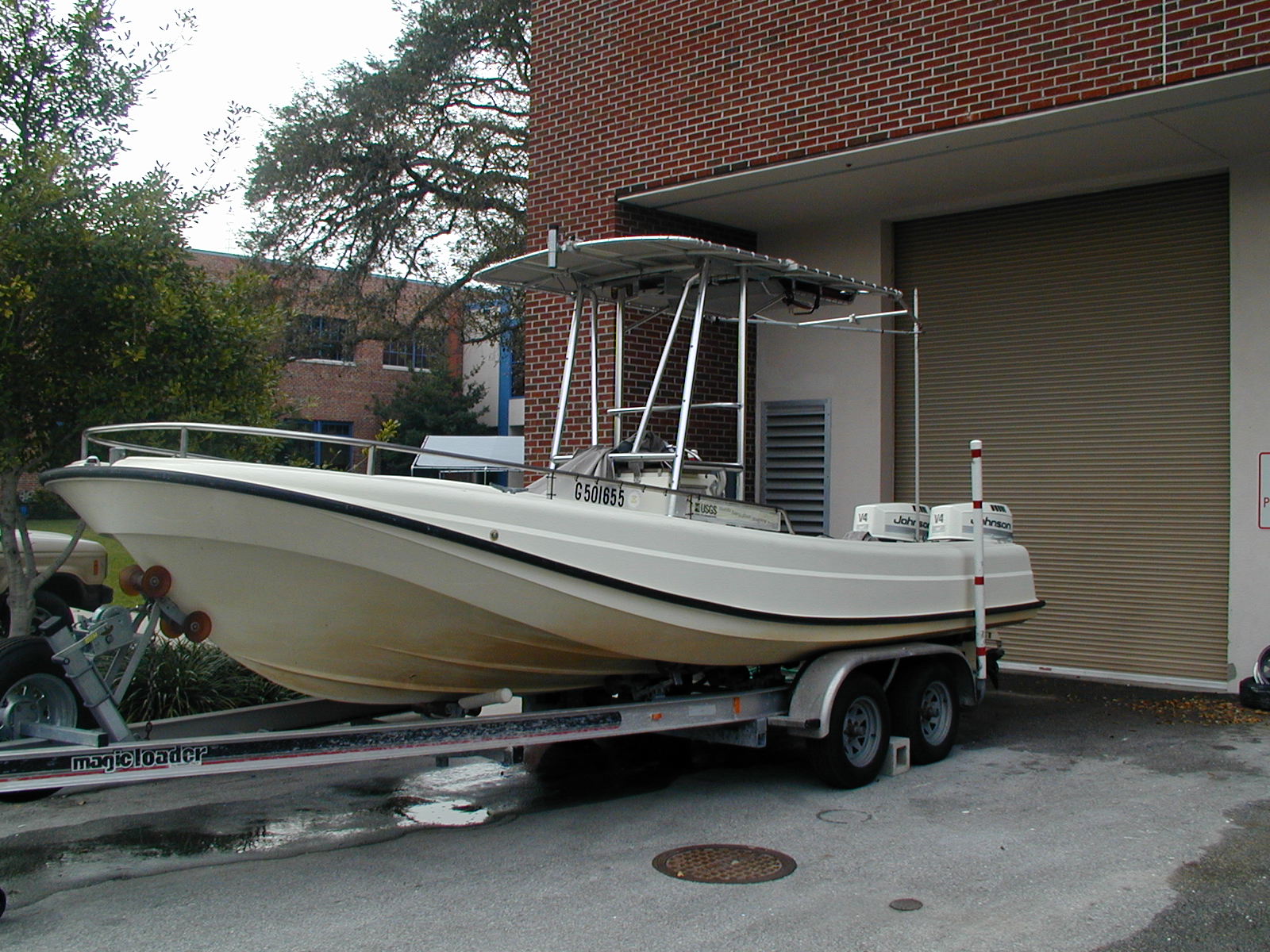
| Description | 22' Whaler |
| Platform type | Vessel > Class 1 > Class 1 boats range from 16 to 26 feet. |
| USGS Center | USGS, St. Petersburg Coastal and Marine Science Center (SPCMSC) |
| Owner |
600 Fourth Street South
St. Petersburg, FL33701-4846
(727) 502-8000
|
| Field activity | Center | Survey location and description |
|---|---|---|
| 06FSH02 | SPCMSC | Offshore of Siesta Key, Florida, Florida |
| 06SCC04 | SPCMSC | Port Fouchon, Lumcon, and Grand Isle, Louisiana |
| 06SCC05 | SPCMSC | Chandeleur Islands, Louisiana |
| 06SCC06 | SPCMSC | Grand Isle, Louisiana |
| 07SCC02 | SPCMSC | Chandeleur Islands, LA |
| 09BHM01 | SPCMSC | 10,000 Islands FL |
| 10BIM05 | SPCMSC | Mississippi Barrier Islands, Gulf of Mexico |
| 10CCT06 | SPCMSC | Chandeleur Islands, LA and Oil Spill Sand Berm |
| 1988-021-FA | WHCMSC | Yakutat Bay, Alaska, United States, North America, North Pacific; |
| 2001-301-FA | SPCMSC | Lake Okeechobee, FL |
| 2001-302-FA | SPCMSC | Tampa Bay, FL |
| 2002-301-FA | SPCMSC | Caloosahatchee River, FL |
| 2003-301-FA | SPCMSC | Loxahatchee River and Lower St. Lucie River, FL |
| 2003-302-FA | SPCMSC | Estero Bay to Matlacha Pass, FL |
| 2003-303-FA | SPCMSC | Charlotte Harbor, FL |
| 2004-001-FA | WHCMSC | Small streams in Everglades National Park, Key Largo, Florida, Gulf of Mexico, United States, North America, North Atlantic; |
| 2004-028-FA | WHCMSC | Everglades rivers, Florida Bay, Florida, United States, North America, North Atlantic; |
| 2004-029-FA | WHCMSC | Everglades rivers, Florida Bay, Florida, United States, North America, North Atlantic; |
| 2004-301-FA | SPCMSC | Everglades National Park, FL |
| 2004-302-FA | SPCMSC | Everglades National Park, FL |
| 2004-303-FA | SPCMSC | Maddison Bay, Louisiana Little Pass Timbalier, Louisiana Pass Abel - Grand Isle, Louisiana |
| 2005-302-FA | SPCMSC | Port Fourchon, LA; Caminada Monroe Headland |