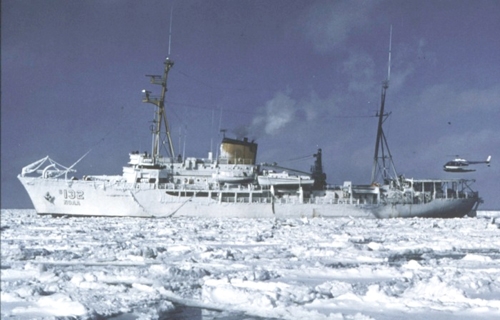
| 1964-601-FA |
PCMSC |
Hawaii |
| 1966-601-FA |
PCMSC |
Hawaii |
| 1979-017-FA |
WHCMSC |
Yakutat Bay, northeastern Gulf of Alaska, Alaska, United States, North America, North Pacific; |
| 1979-027-FA |
WHCMSC |
Yakutat Bay, northeast Gulf of Alaska, Alaska, United States, North America, North Pacific; |
| S164AK |
PCMSC |
Alaska |
| S166NP |
PCMSC |
Northern Pacific |
| S169NS |
PCMSC |
Alaska |
| S170NP |
PCMSC |
California coast to Baja California |
| S172NP |
PCMSC |
Washington, Northern Pacific |
| S175EG |
PCMSC |
Eastern Gulf of Alaska |
| S180BS |
PCMSC |
Alaska |
| S183MB |
PCMSC |
California |
| S363AK |
PCMSC |
Alaska |
| S375EG |
PCMSC |
Eastern Gulf of Alaska |
| S579EG |
PCMSC |
Northeast Gulf of Alaska |
