Other ID: none
Status: Completed
Organization(s): USGS, St. Petersburg Coastal and Marine Science Center
Funding Program(s):
Principal Investigator(s): Cheryl Hapke
Affiliate Investigator(s):
Information Specialist(s): Billy Reynolds
Data Type(s): Location-Elevation: Navigation
Scientific Purpose/Goals: Support ACE:FRF LARC-5 Inlet Survey. Collect Beach GPS Profiles
Vehicle(s): Rental Vehicle
Start Port/Location: Islip, NY
End Port/Location: Islip, NY
Start Date: 2013-06-20
End Date: 2013-06-26
Equipment Used: Ashtech Z-Xtreme DGPS
Information to be Derived: Beach Elevation
Summary of Activity and Data Gathered:
Staff: Billy Reynolds
Affiliate Staff:
Notes:
Location:
Fire Island, NY
| Boundaries | |||
|---|---|---|---|
| North: 40.79703426 | South: 40.52605421 | West: -73.5253 | East: -72.34011422 |
Platform(s):
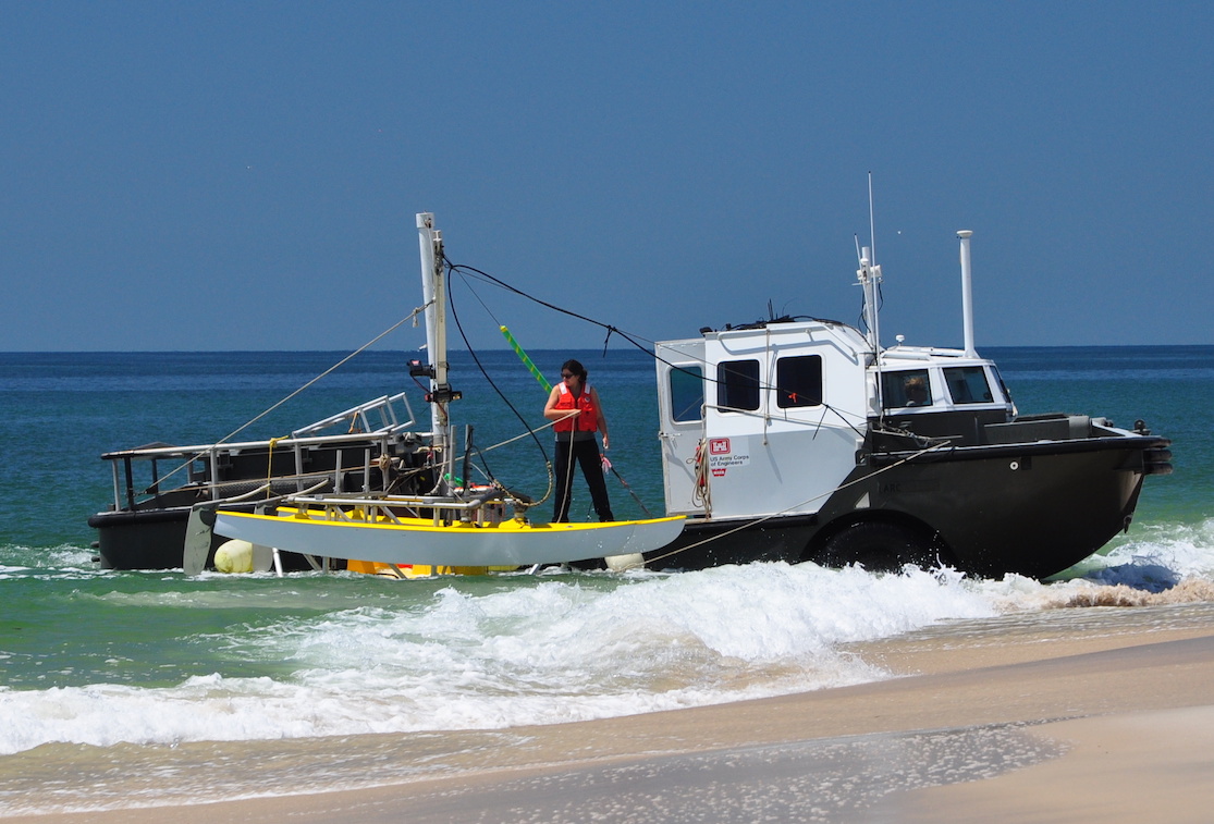 USACE LARC-5 |
Brenner, O.T., Henderson, R.E., Hapke, C.J., Reynolds, B.J., 2018, Hurricane Sandy beach response and recovery at Fire Island, New YorkâShoreline, beach profile data, and breach shoreline data, October 2012 to October 2017: U.S. Geological Survey data release, https://doi.org/10.5066/P9ANYQ8G.
Brenner, O.T., Lentz, E.E., Hapke, C.J., Henderson, R.E., Wilson, K.E., Nelson, T.R., 2018, Characterizing storm response and recovery using the beach change envelope: Fire Island, New York: Geomorphology, v. 300 no. Supplement C, pp. 189–202, doi: 10.1016/j.geomorph.2017.08.004.
Hapke, C.J., Nelson, T.R., Henderson, R.E., Brenner, O.T., Miselis, J.L., 2017, Morphologic evolution of the wilderness area breach at Fire Island, New York, 2012-15: U.S. Geological Survey Open-File Report 2017-1116, 24 p., https://doi.org/10.3133/ofr20171116.
Henderson, R.E., Hapke, C.J., Brenner, O.T., Reynolds, B.J., 2017, Hurricane Sandy beach response and recovery at Fire Island, New York: Shoreline, beach profile data, and breach shoreline data: October 2012 to June 2016: U.S. Geological Survey data release, https://doi.org/10.5066/F7G15Z17.
Henderson, R.H., Hapke, C.J., Brenner, O.T., Reynolds, B.J., 2015, Hurricane Sandy beach response and recovery at Fire Island, New York: Shoreline and beach profile data, October 2012 to October 2014: U.S. Geological Survey Data Series 931, https://doi.org/10.3133/ds931.
van Ormondt, M., Nelson, T.R., Hapke, C.J., Roelvink, D., 2020, Morphodynamic modelling of the wilderness breach, Fire Island, New York. Part I: Model set-up and validation: Coastal Engineering, Coastal Engineering, v. 157, 103621 p., doi: 10.1016/j.coastaleng.2019.103621.
Wilson, K., Lentz, E.E., Miselis, J.L., Safak, I., Brenner, O.T., 2019, A Bayesian Approach to Predict Sub-Annual Beach Change and Recovery: Estuaries and Coasts, Estuaries and Coasts, v. 42 no. 1, pp. 112–131, doi: 10.1007/s12237-018-0444-1.
| Survey Equipment | Survey Info | Data Type(s) | Data Collected |
|---|---|---|---|
| Ashtech Z-Xtreme DGPS | --- | Benchmarks Navigation | 13CCH06-NL-pd-2 (Fire Island, NY pre- and post-storm shoreline data) 13CCH06-NL-pd-1 (Fire Island, NY pre- and post- storm cross-shore profiles) |
