| Description |
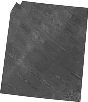
In 1984, the U.S. Geological Survey (USGS), Office of Marine Geology, launched a program using the Geological LOng-Range Inclined Asdic (GLORIA) sidescan-sonar system to study the entire U.S. Exclusive Economic Zone (EEZ). From 1986 through 1989, the USGS and IOS (Institute of Oceanographic Sciences, U.K.) scientists conducted several surveys within the U.S. EEZ off Alaska. Four surveys during that time period (1986-1987) focused on the Bering Sea region. The results of these surveys were 30 digital mosaics of a 3 degree by 2 degree area with a 50-meter pixel resolution. [More]
|
