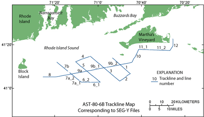
| Description |
During 1980, the U.S. Geological Survey (USGS) conducted a seismic-reflection survey utilizing Uniboom seismics in southern Rhode Island Sound aboard the Research Vessel Asterias. This cruise totalled 3 survey days. Data from this survey were recorded in analog form and archived at the USGS. Due to recent interest in the geology of Rhode Island Sound and in an effort to make the data more readily accessible while preserving the original paper records, the seismic data from this cruise were scanned and converted to TIFF images and SEG-Y data files. Navigation data were converted from LORAN-C time delays to latitudes and longitudes, which are available in ESRI shapefile format and as eastings and northings in space-delimited text format. [More]
|
