| Online link | https://cmgds.marine.usgs.gov/catalog/spcmsc/ds-448metadata.faq.html |
|---|---|
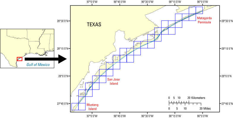
| Description | A first-surface elevation map was produced cooperatively from remotely sensed, geographically referenced elevation measurements by the U.S. Geological Survey (USGS) and National Aeronautics and Space Administration (NASA). Elevation measurements were collected over the area using the NASA Airborne Topographic Mapper (ATM), a scanning lidar system that measures high-resolution topography of the land surface. The ATM system is deployed on a Twin Otter or P-3 Orion aircraft and incorporates a green-wavelength laser operating at pulse rates of 2 to 10 kilohertz. Measurements from the laser-ranging device are coupled with data acquired from inertial navigation system (INS) attitude sensors and differentially corrected global positioning system (GPS) receivers to measure topography of the surface at accuracies of +/-15 centimeters. For more information on Lidar science and the Experimental Advanced Airborne Research Lidar (EAARL) system and surveys, see http://ngom.usgs.gov/dsp/overview/index.php and http://ngom.usgs.gov/dsp/tech/eaarl/index.php . [More] |
| Originators | U.S. Geological Survey |
| Field activities | 01LTS02 |
