| Description |
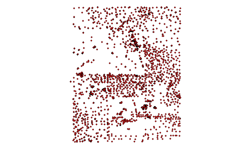
The U.S. Geological Survey, in collaboration with the National Oceanic and Atmospheric Administration's (NOAA) National Marine Sanctuary Program, conducted seabed mapping and related research in the Stellwagen Bank National Marine Sanctuary region from 1994 to 2004. The mapped area is approximately square 3,700 km (1,100 square nm) in size and was subdivided into 18 quadrangles. Several series of sea floor maps of the region based on multibeam sonar surveys have been published. In addition, 2,628 seabed sediment samples were collected and analyzed and approximately 10,600 still photographs of the seabed were acquired during the project. These data provide the basis for scientists, policy makers, and managers for understanding the complex ecosystem of the sanctuary region and for monitoring and managing its economic and natural resources. [More]
|
