| Description |
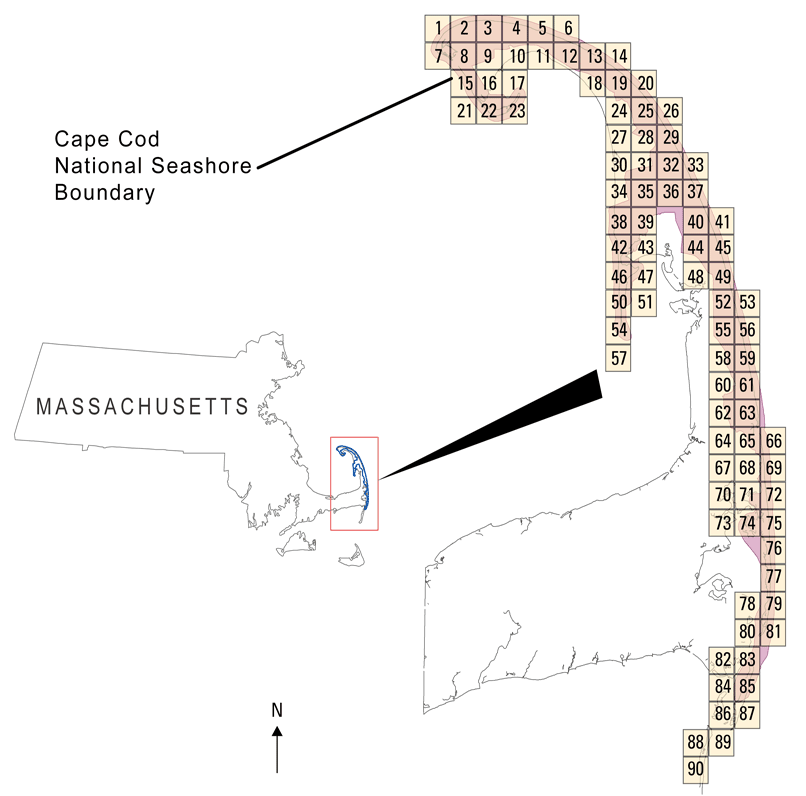
Elevation maps (also known as Digital Elevation Models or DEMs) of Cape Cod National Seashore were produced from remotely-sensed, geographically-referenced elevation measurements in cooperation with NASA and NPS. Point data in ascii text files were interpolated in a GIS to create a grid or digital elevation model (DEM) of each beach surface. Elevation measurements were collected in Massachusetts, over Cape Cod National Seashore using the NASA Experimental Advanced Airborne Research LiDAR (EAARL), a pulsed laser ranging system mounted onboard an aircraft to measure ground elevation and coastal topography. The system uses high frequency laser beams directed at the earth's surface through an opening in the bottom of the aircraft's fuselage. The laser system records the time difference between emission of the laser beam and the reception of the reflected laser signal in the aircraft. The plane travels over the beach at approximately 60 meters per second while surveying from the low-water line to the landward base of the sand dunes. The EAARL, developed by the National Aeronautics and Space Administration (NASA) located at Wallops Flight Facility in Virginia, measures ground elevation with a vertical resolution of 15 centimeters. A sampling rate of 3 kHz or higher results in an extremely dense spatial elevation data set. Over 100 kilometers of coastline can be easily surveyed within a 3- to 4-hour mission time period. The ability to sample large areas rapidly and accurately is especially useful in morphologically dynamic areas such as barrier beaches. Quick assessment of topographic change can be made following storms comparing measurements against baseline data. When subsequent elevation maps for an area are analyzed, they provide a useful tool to make management decisions regarding coastal development. For more information on Lidar science and the Experimental Advanced Airborne Research Lidar (EAARL) system and surveys, see http://ngom.usgs.gov/dsp/overview/index.php and http://ngom.usgs.gov/dsp/tech/eaarl/index.php . [More]
|
