| Online link | https://cmgds.marine.usgs.gov/catalog/whcmsc/open_file_report/ofr2002-002/90_1navt_meta.faq.html |
|---|---|
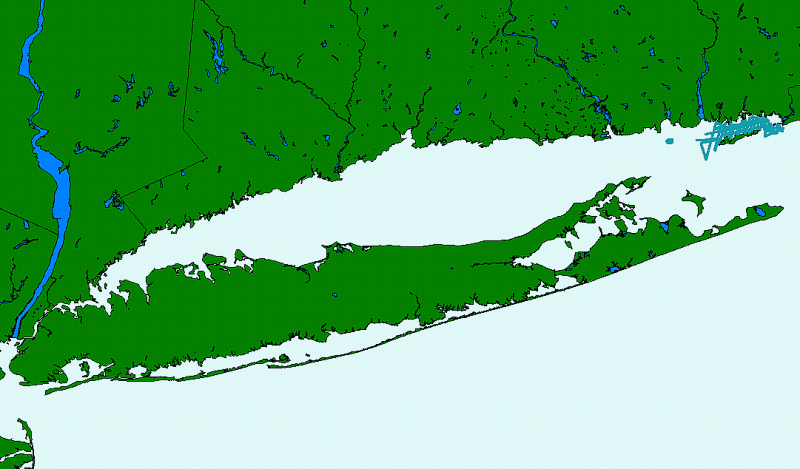
| Description | This GIS layer contains the shiptrack navigation lines collected aboard the RV ASTERIAS during a 1990 geophysical cruise to Fishers Island Sound and eastern Long Island Sound. A boomer seismic system was used to collect the subbottom data. |
| Originators | DiGiacomo-Cohen, Mary L.; Poppe, Lawrence J.; and Paskevich, Valerie F. |
