| Online link | https://cmgds.marine.usgs.gov/catalog/whcmsc/data_series/DDS-79/maurcont.shp.faq.html |
|---|---|
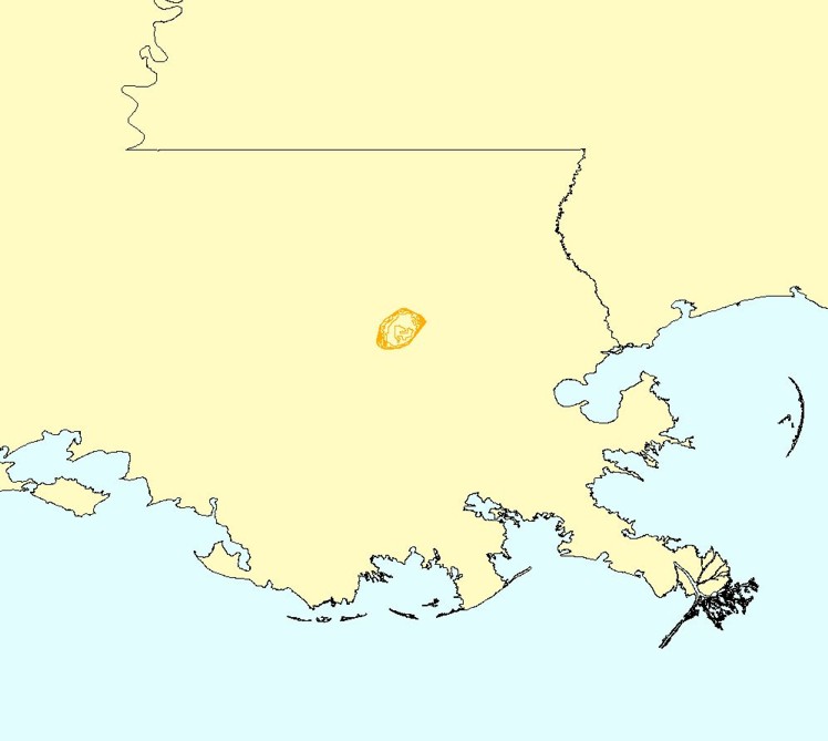
| Description | This is the contoured bathymetry for Lake Maurepas created for USGS Professional Paper 1634 by Laura Hayes using Vertical Mapper. |
| Originators | U.S. Geological Survey; Hayes, Laura; Reid, Jamey M.; Williams, S. Jeffress; Cross, VeeAnn A.; and Polloni, Christopher F. |
