| Description |
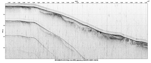
A large number of high-resolution geophysical surveys between Cape Hatteras and Georges Bank have been conducted by federal, state, and academic institutions since the turn of the century. A major goal of these surveys is providing a continuous view of bathymetry and shallow stratigraphy at the shelf edge in order to assess levels of geological activity during the current sea level highstand. In 2012, chirp seismic-reflection data was collected by the U.S. Geologial Survey aboard the motor vessel Tiki XIV near three United States mid-Atlantic margin submarine canyons. These data can be used to further our understanding of passive continental margin processes during the Holocene, as well as providing valuable information regarding potential submarine geohazards. For more information on the U.S. Geological Survey involvement in this effort, see https://cmgds.marine.usgs.gov/fan_info.php?fan=2012-005-FA. [More]
|
