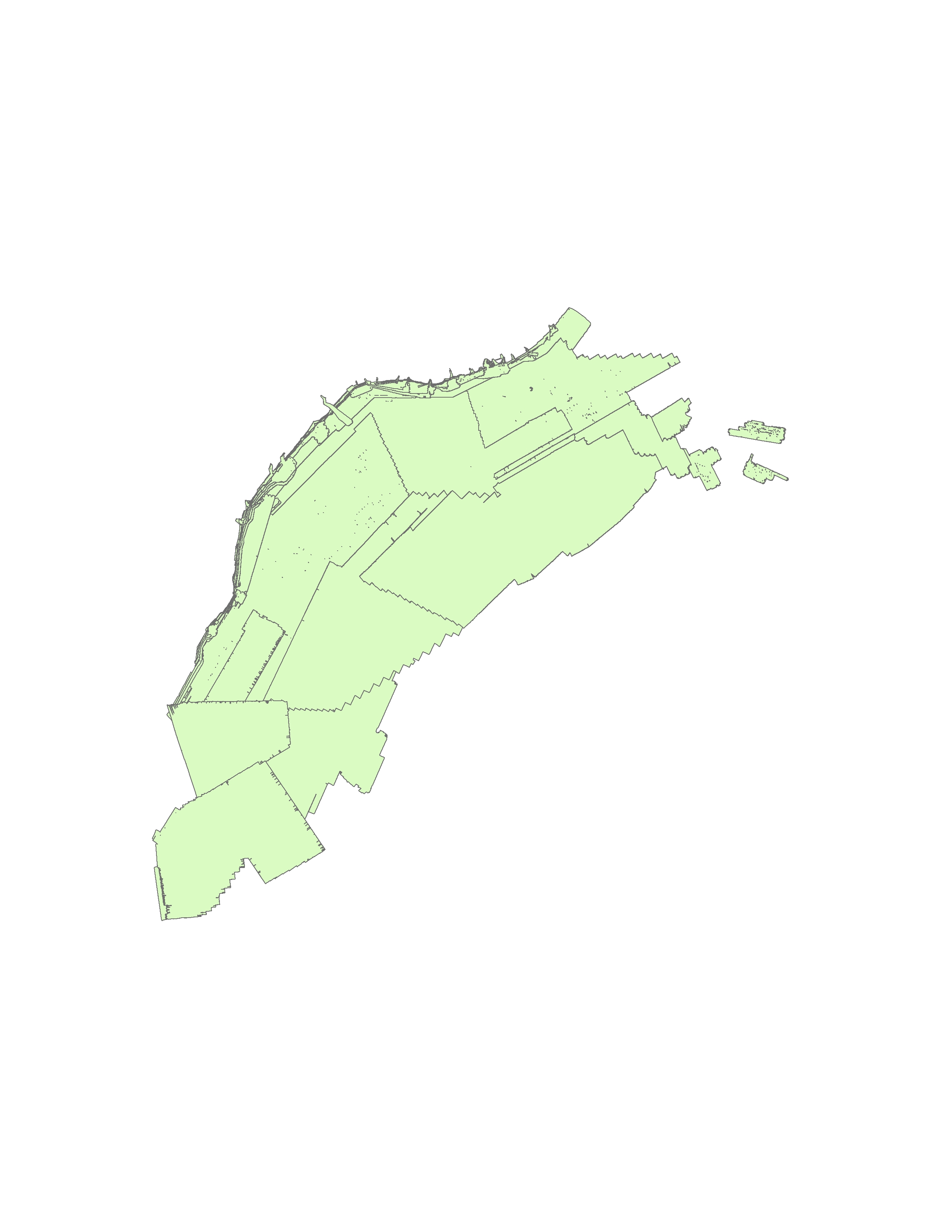
| Online link | https://cmgds.marine.usgs.gov/catalog/whcmsc/open_file_report/ofr2012-1266/AtlanticMarginBathSource_V2.shp.faq.html |
|---|---|
| Description | Bathymetric Terrain Models (BTMs) of seafloor morphology are an important component of marine geological investigations. Advances in acquisition and processing technologies of bathymetry data have facilitated the creation of high-resolution bathymetric surfaces that approach the resolution of those available for onshore investigations. These BTMs provide a detailed representation of the Earth's subaqueous surface and when combined with other geophysical and geologic datasets, allow for interpretation of modern and ancient geologic processes. [More] |
| Originators | U.S. Geological Survey; Andrews, Brian D.; Chaytor, Jason D.; ten Brink, Uri S.; Brothers, Daniel S.; Gardner, James V.; Lobecker, Elizabeth A.; and Calder, Brian R. |
