| Description |
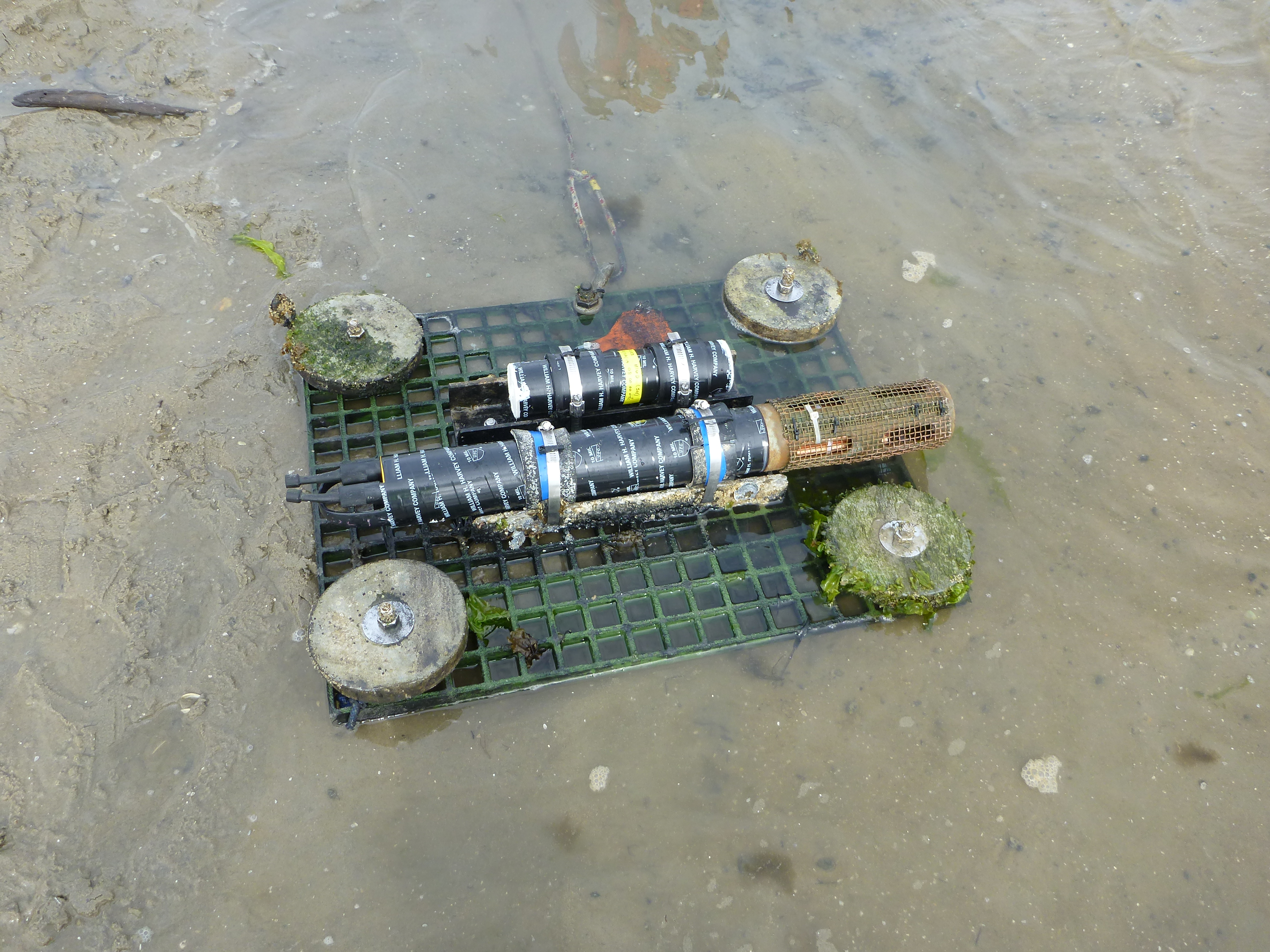
In October 2012, Hurricane Sandy made landfall in the Northeastern U.S., affecting ecosystems and communities of 12 states. In response, the National Fish and Wildlife Federation (NFWF) and the U.S. Department of Interior (DOI) implemented the Hurricane Sandy Coastal Resiliency Program, which funded various projects designed to reduce future impacts of coastal hazards. These projects included marsh, beach, and dune restoration, aquatic connectivity, and living shoreline installation, among others. To evaluate restoration efforts of the Hurricane Sandy Coastal Resiliency Program, the U.S. Geological Survey (USGS) studied two marsh sites of coastal systems in southeast New Jersey that underwent restoration. Submerged sensors were deployed to measure water velocity, water quality, water level, and waves. Water quality data collection included optical turbidity measurements that were calibrated to suspended sediment mass using in-situ, lab filtered water samples. These data will be used to calculate sediment fluxes and ecological resilience metrics at the two marsh sites. [More]
|
