PROCESS STEP 1:
Shearwater Reveal (version 2021) seismic processing software was used to execute the following processing flows to produce SEG-Y files containing raw shot gathers with header geometry and CMP stack files processed through trace noise reduction.
(1.) Import SEG-D sequences: SegDRead read raw Geometrics SEG-D shot MCS files, extracted navigation fixes from the external headers, and wrote them to new header words, and converted the source lat/lon positions from seconds of arc to decimal degrees (NRP_LAT, NRP_LON). UTMLatLong projected the geographic navigation to UTM Zone 19N WGS 84 meters (NRP_X, and NRP_Y). Output wrote the trace sequence to Reveal formatted .seis files.
(2.) Layback geometry assignment: Input read trace files sorted by FFID/CHANNEL. The Python module ShotlineLayback (developed by Nathan Miller of USGS-WHCMSC) defined the source and streamer geometry based on measured horizontal offsets from the navigation reference point (NRP) to the center of the source (COS) and the centers of the first and last 6.25 m spaced channel groups. The following lists the linear offsets from the NRP to COS and index channels (IC) used to define layback geometry. NRP to COS, NRP to IC offset(IC#): for 72 channel streamer -50.962(0),-111.2(1)/-557.3(72). The module interpolated a sail line from the shot NRP positions (NRP_X and NRP_Y), then computed layback positions for the source and channel groups (values were interpolated for all channels in between the defined index channels) for each FFID by translating them back along the sail line by their respective offsets. Layback mid-point positions along the sail line were computed for each shot/receiver pair, CMP bin spacing was set to 6.25 m, the first CMP to 1000, and CMP coordinates (BIN_X and BIN_Y) were computed. HeaderMath computed and populated a new header word for trace offset using OFFSET = ABS(NRP2CHAN) - ABS(NRP2COS). Output wrote the trace sequence with defined geometry (offset and CMP) to new files. DBWrite wrote the layback geometry source positions (in UTM 19N WGS84 meters and geographic decimal degrees), FFID number, year, day number, and UTC times for the shots in each merged line to ASCII CSV files. Output wrote the lines to new seis files as well as SEG-Y Rev. 1 format (32-Bit IEEE floating point). Each output SEG-Y file contains a textural file header similar to the example from 2016-018-FA_Line-01.sgy included below.
Example shot gather SEG-Y Textural File Header:
U.S. Geological Survey Coastal and Marine Hazards and Resources Program
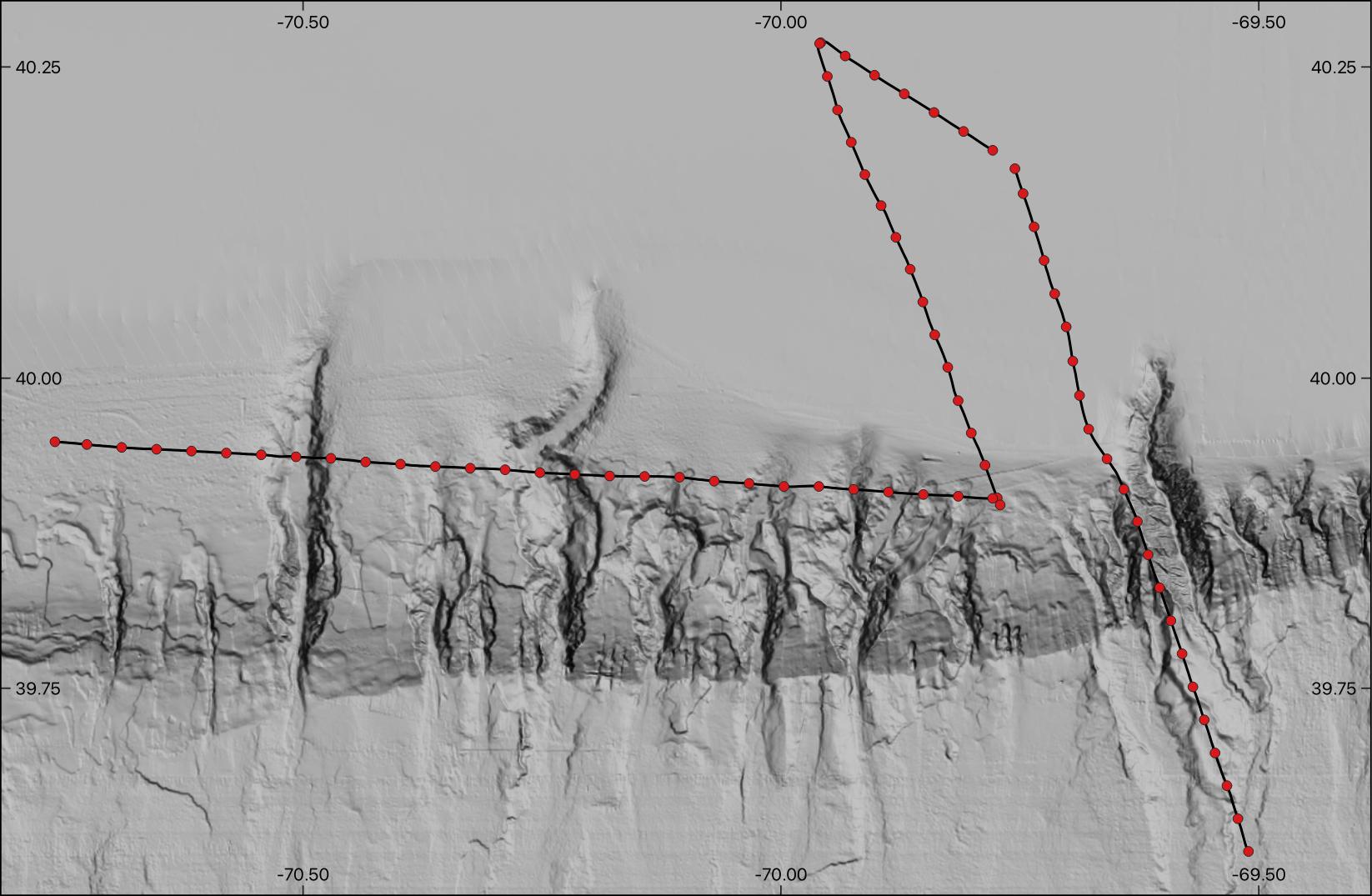
Field Activity 2016-018-FA - Southern New England Shelf Edge - R/V Neil
Armstrong
Shot gathers with header geometry of 2016-018-FA_Line-01
Acquisition: Applied Acoustics Delta Sparker source (2.4 kilojoules), 6 second
shot interval, 72 channel GeoEel hydrophone streamer (6.25 meter groups),
0.5 millisecond sample interval, 5.5 second record lengths, recorded in
SEG-D format.
Processing: SEG-D import, assign SRC/REC/Midpoint layback geometry relative
to NRP navigation, assign CMPs, top mute (above 5 ms, with 60 ms taper),
apply Butterworth highpass filter (60 Hz minimum frequency).
Output: 32-bit IEEE floating point SEG-Y, 5.5 second record length.
SRC/GRP/CMP coordinate are stored in geographic arcseconds (scaled by 100).
Divide by 360000 for decimal degrees.
Coordinate scalar in bytes 71-72.
SRC-X and SRC-Y in bytes 73-76 AND 77-80.
GRP-X and GRP-Y in bytes 81-84 AND 85-88.
CMP-X and CMP-Y in bytes 181-184 AND 185-188.
CMP number stored in bytes 21-24.
For additional information on this dataset refer to the associated USGS
data release at:
https://doi.org/10.5056/P9R3VW5H
(3.) Trace Noise Reduction: Input read trace files with assigned geometry sorted to FFID/CHANNEL. Detrend removed any mean amplitude trend detected from each trace. A Butterworth bandpass filter (80 - 600 Hz) was applied to the traces. SphericalDivergence scaled traces using an offset dependent correction. A polygonal FKFilter rejected noise energy identified in shot gather f-k spectra. Output wrote preprocessed, noise-reduced traces to new files.
(4.) Constant velocity CMP stack and SEG-Y output: Input read the geometry corrected and noise-reduced trace files sorted to CMP / OFFSET. NormalMoveout converted traces to zero offset using a constant velocity of 1500 m/s, and Stack produced a single trace per CMP bin. Output wrote the stacked traces to new seis files. HeaderMath converted the geographic coordinates from decimal degrees to seconds of arc multiplied by a scaler of 100, and set the coordinate unit header to 2 accordingly. DBWrite wrote the CMP positions (in UTM 19N WGS84 meters and geographic decimal degrees), CMP number and year to ASCII CSV text files by line. Output wrote the stacked traces to SEG-Y Rev. 1 format (32-Bit IEEE floating point). Each output SEG-Y file contains a textural file header similar to the example from 2016-018-FA_Line-01.sgy included below.
Example stack SEG-Y Textural File Header:
U.S. Geological Survey Coastal and Marine Hazards and Resources Program
Field Activity 2016-018-FA - Southern New England Shelf Edge - R/V Neil
Armstrong
Preliminary CMP stack of 2016-018-FA_Line-01 through noise reduction processing.
Acquisition: Applied Acoustics Delta Sparker source (2.4 kilojoules), 6 second
shot interval, 72 channel GeoEel hydrophone streamer (6.25 meter groups),
0.5 millisecond sample interval, 5.5 second record lengths, recorded in
SEG-D format.
Processing: SEG-D import, assign SRC/REC/Midpoint layback geometry relative
NRP navigation, assign CMPs, apply Butterworth bandpass filter (80-600 Hz),
trace edits, SphericalDivergence scaled traces using an offset dependent
correction, FK filtering, normal moveout correction (constant 1500 m/s velocity)
,stack.
Output: 32-bit IEEE floating point SEG-Y, 5.5 second record length.
CMP coordinates are stored in geographic arcseconds (scaled by 100).
Divide by 360000 for decimal degrees.
Coordinate scalar in bytes 71-72.
CMP-X and CMP-Y in bytes 181-184 and 185-188.
CMP number stored in bytes 21-24.
For additional information on this dataset refer to the associated USGS
data release at:
https://doi.org/10.5056/P9R3VW5H
These process steps and all subsequent process steps were conducted by Wayne Baldwin.