Online Links:
Online Links:
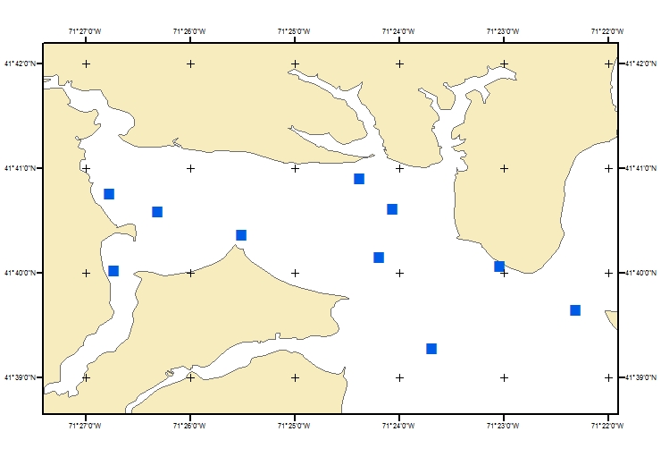
| Range of values | |
|---|---|
| Minimum: | 296385 |
| Maximum: | 302520 |
| Units: | meters |
| Range of values | |
|---|---|
| Minimum: | 4614194 |
| Maximum: | 4617231 |
| Units: | meters |
| Range of values | |
|---|---|
| Minimum: | 14.6 |
| Maximum: | 16.7 |
| Units: | degrees Celsius |
| Range of values | |
|---|---|
| Minimum: | 25.5 |
| Maximum: | 27.8 |
| Units: | ppt |
| Range of values | |
|---|---|
| Minimum: | 32.53 |
| Maximum: | 34.64 |
| Units: | milli-Siemens per centimeter |
| Range of values | |
|---|---|
| Minimum: | 3.254414 |
| Maximum: | 3.462127 |
| Units: | Siemens per meter |
| Range of values | |
|---|---|
| Minimum: | 0.28884 |
| Maximum: | 0.307275 |
| Units: | ohm-meters |
[GreenwichBaySalinitiesMay2009_vmod.csv]
Format=CSVDelimited
ColNameHeader=True
Col1=location Text Width 50
Col2=time Text Width 10
Col3=utmzone Text Width 10
Col4=easting Long
Col5=northing Long
Col6=temp_c Float
Col7=sal_ppt Float
Col8=cond_mSpcm Float
Col9=cond_Spm Float
Col10=res_ohm_m Float
Using ArcMap 9.2 - Tools - Add XY data with X field as easting, Y field as northing, and defined the coordinate system as UTM, zone 19, WGS 84 - added the csv file as an event theme in ArcMap. This event theme was then exported to a shapefile using the data export option from the right-mouse click of the event theme in the table of contents. Data sources used in this process:
| Access_Constraints | None. |
|---|---|
| Use_Constraints | The public domain data from the U.S. Government are freely redistributable with proper metadata and source attribution. Please recognize the U.S. Geological Survey as the originator of the dataset. |
| Data format: | The zip file contains the point shapefile, CSV file, and Excel spreadsheet of the YSI data collected on May 15, 2009 from U.S. Geological Survey field activity 2009-021-FA as well as the associated metadata files. in format Shapefile (version ArcGIS 9.3.1) Size: 1 |
|---|---|
| Network links: |
https://cmgds.marine.usgs.gov/data/field-activity-data/2009-021-FA/data/chemistry/2009-021-FA_YSIdata.zip https://doi.org/10.5066/F7DR2TSX |
| Data format: | The zip file contains the point shapefile, CSV file, and Excel spreadsheet of the YSI data collected on May 15, 2009 from U.S. Geological Survey field activity 2009-021-FA as well as the associated metadata files. in format CSV (version Excel 2010) Size: 1 |
|---|---|
| Network links: |
https://cmgds.marine.usgs.gov/data/field-activity-data/2009-021-FA/data/chemistry/2009-021-FA_YSIdata.zip https://doi.org/10.5066/F7DR2TSX |
| Data format: | The zip file contains all the point shapefile and Excel spreadsheet of the YSI data collected on May 15, 2009 from U.S. Geological Survey field activity 2009-021-FA as well as the associated metadata files. in format XLS (version Excel 2003) Size: 0.007 |
|---|---|
| Network links: |
https://cmgds.marine.usgs.gov/data/field-activity-data/2009-021-FA/data/chemistry/2009-021-FA_YSIdata.zip https://doi.org/10.5066/F7DR2TSX |