Online Links:
Online Links:
| Range of values | |
|---|---|
| Minimum: | 40 |
| Maximum: | 120 |
| Access_Constraints | None |
|---|---|
| Use_Constraints | The U.S. Geological Survey must be referenced as the originator of the dataset in any future products or research derived from these data. |
| Data format: | shapefile Size: 6 |
|---|---|
| Network links: |
https://pubs.usgs.gov/of/1999/of99-396/data/contours/onemeter/onemeter.zip https://pubs.usgs.gov/of/1999/of99-396/htmldocs/data.htm https://doi.org/10.3133/ofr99396 |
| Media you can order: |
CD-ROM
(Density 650
Mbytes)
(format ISO 9600)
Note: The user must have a CD-ROM capable of reading an ISO 9660 standard CD-ROM. |
| Data format: | ARCE Size: 6 |
|---|---|
| Network links: |
https://pubs.usgs.gov/of/1999/of99-396/data/contours/onemeter/onemeter.e00 https://doi.org/10.3133/ofr99396 |
| Media you can order: |
CD-ROM
(Density 650
Mbytes)
(format ISO 9600)
Note: The user must have a CD-ROM capable of reading an ISO 9660 standard CD-ROM. |
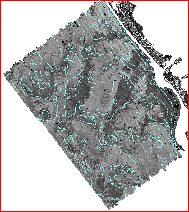
| Data format: | The ASCII file contains vector line segments. Line segments begin with a record containing LINE xx where xx is the assigned integer value of the depth contour. The depth contour value is assigned in decimeters. For example a value of 35 would be equivalent to 3.5m. The line information follows with coordinate pairs on a single line/record. Coordinates are recorded in signed decimal degrees and are in X,Y order (lon/lat). in format ASCII Size: 11 |
|---|---|
| Network links: |
https://pubs.usgs.gov/of/1999/of99-396/data/contours/onemeter/onemeter.txt https://doi.org/10.3133/ofr99396 |
| Media you can order: |
CD-ROM
(Density 650
Mbytes)
(format ISO 9600)
Note: The user must have a CD-ROM capable of reading an ISO 9660 standard CD-ROM. |