Online Links:
Online Links:
| Range of values | |
|---|---|
| Minimum: | 0 |
| Maximum: | 7 |
| Range of values | |
|---|---|
| Minimum: | 0 |
| Maximum: | 9 |
| Range of values | |
|---|---|
| Minimum: | 0 |
| Maximum: | 0 |
| Range of values | |
|---|---|
| Minimum: | 0 |
| Maximum: | 0 |
| Range of values | |
|---|---|
| Minimum: | 0.117 |
| Maximum: | 23.407 |
| Range of values | |
|---|---|
| Minimum: | 1 |
| Maximum: | 23 |
| Range of values | |
|---|---|
| Minimum: | 1 |
| Maximum: | 18 |
| Range of values | |
|---|---|
| Minimum: | 200 |
| Maximum: | 3000 |
| Units: | meters |
| Resolution: | 50 |
Online Links:
Online Links:
| Access_Constraints | None |
|---|---|
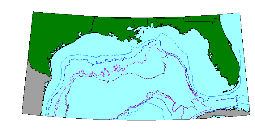
| Use_Constraints | These data are NOT suitable to be used for any navigational or legal purpose. The contour line data are in most cases manually digitized from a variety of published or unpublished maps. These data are accessible for making illustrations only. There is NO ASSURANCE of their accuracy, completeness, or precision. |
| Data format: | The three ArcView shapefiles (bathyc.dbf, bathyc.shp, bathyc.shx) comprising the bathymetric contours (bathyc) coverage. Available as individual file downloads or in a zip file. in format shapefile Size: 1 |
|---|---|
| Network links: |
https://pubs.usgs.gov/of/2000/of00-019/data/misc/bathyc.zip https://pubs.usgs.gov/of/2000/of00-019/htmldocs/data.htm https://doi.org/10.3133/ofr0019 |
| Media you can order: |
CD-ROM
(Density 650
Mbytes)
(format ISO 9600)
Note: The user must have a system with a CD-ROM capable of reading an ISO-9660 standard CD-ROM disk. To browse the information contained on this disk, the user must also have a current version of WWW browser available. |